
Cycling in Paicol
Discover a map of 5 cycling routes and bike trails near Paicol, created by our community.
Be a pioneer
Inspire fellow cyclists with your route in Paicol
Bikemap is a global cycling community with millions of routes created by cyclists like you. There are only a few routes so far in Paicol, so plot your favourite rides on the map now to help others find the best ways to ride.
From our community
The best bike routes in and around Paicol

Paicol - La Plata
Cycling route in Paicol, Huila Department, Colombia
- 20.3 km
- Distance
- 500 m
- Ascent
- 365 m
- Descent

Cerro San Jacinto
Cycling route in Paicol, Huila Department, Colombia
- 35.2 km
- Distance
- 1,322 m
- Ascent
- 1,323 m
- Descent

Ruta Paicol_1
Cycling route in Paicol, Huila Department, Colombia
- 27.3 km
- Distance
- 811 m
- Ascent
- 819 m
- Descent
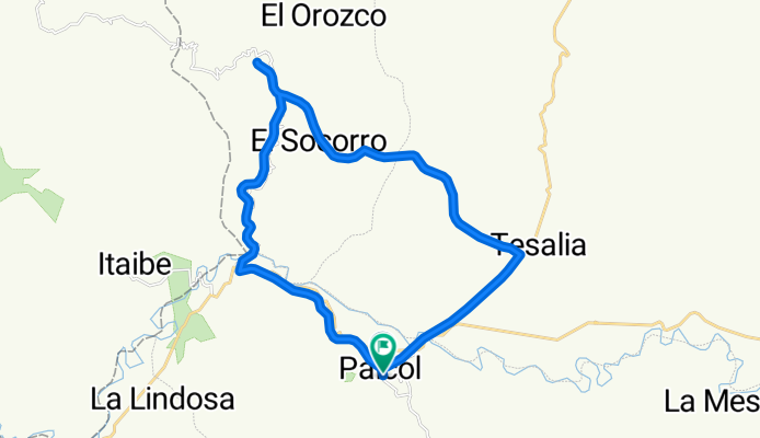
Paicol-Nataga-Tesalia
Cycling route in Paicol, Huila Department, Colombia
- 33.5 km
- Distance
- 1,471 m
- Ascent
- 1,474 m
- Descent