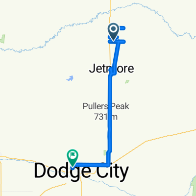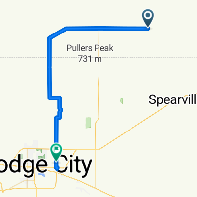

East South Street to Road
- 51.7 km
- 300 m
- 276 m
- Jetmore, Kansas, United States

Discover a map of 10 cycling routes and bike trails near Jetmore, created by our community.
Be a pioneer
Bikemap is a global cycling community with millions of routes created by cyclists like you. There are only a few routes so far in Jetmore, so plot your favourite rides on the map now to help others find the best ways to ride.
From our community
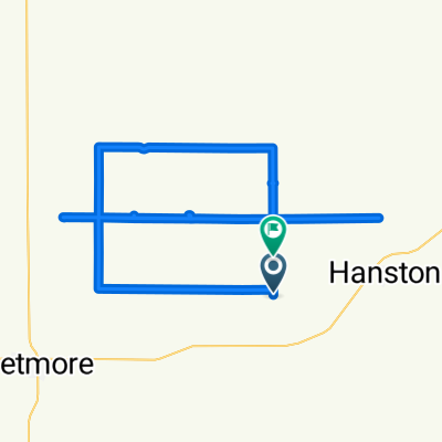
Cycling route in Jetmore, Kansas, United States
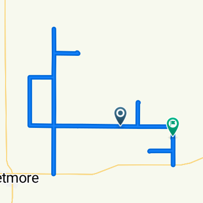
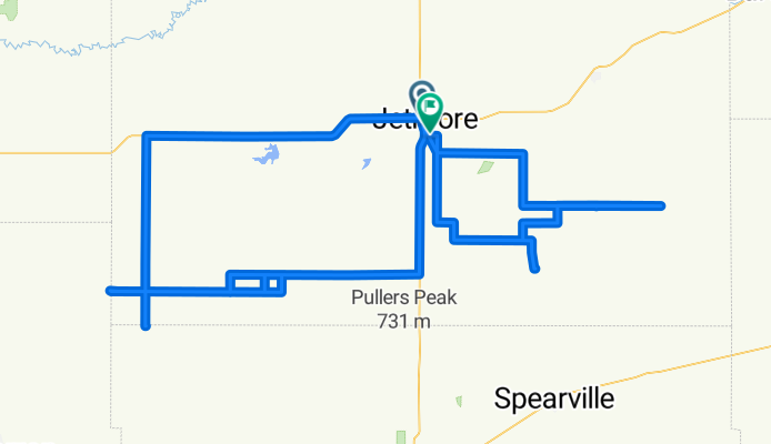
Cycling route in Jetmore, Kansas, United States