
Cycling in Highland Heights
Discover a map of 8 cycling routes and bike trails near Highland Heights, created by our community.
Be a pioneer
Inspire fellow cyclists with your route in Highland Heights
Bikemap is a global cycling community with millions of routes created by cyclists like you. There are only a few routes so far in Highland Heights, so plot your favourite rides on the map now to help others find the best ways to ride.
From our community
The best bike routes in and around Highland Heights
Highland Heights Route
Cycling route in Highland Heights, Kentucky, United States of America
Route by NKU
- 10.7 km
- Distance
- 178 m
- Ascent
- 183 m
- Descent
High-speed route in Highland Heights
Cycling route in Highland Heights, Kentucky, United States of America
- 1.8 km
- Distance
- 8 m
- Ascent
- 12 m
- Descent
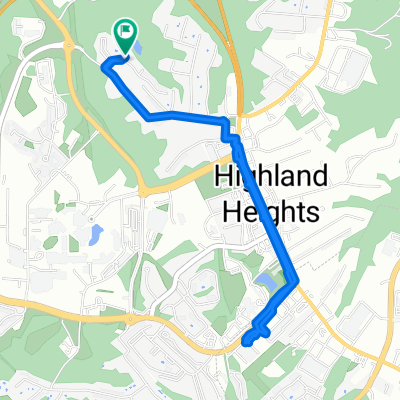
Kroger on Alexandria Pike
Cycling route in Highland Heights, Kentucky, United States of America
- 4.9 km
- Distance
- 43 m
- Ascent
- 42 m
- Descent
Overlook Circle 7, Wilder to East Alexandria Pike 4318, Cold Spring
Cycling route in Highland Heights, Kentucky, United States of America
- 5.4 km
- Distance
- 47 m
- Ascent
- 42 m
- Descent
Discover more routes
- Overlook Circle 7, Wilder to South Fort Thomas Avenue 1017
- Distance
- 7.6 km
- Ascent
- 49 m
- Descent
- 49 m
- Location
- Highland Heights, Kentucky, United States of America
- Overlook Circle 7, Wilder to Overlook Circle 7, Wilder
- Distance
- 8.2 km
- Ascent
- 77 m
- Descent
- 74 m
- Location
- Highland Heights, Kentucky, United States of America
- Overlook Circle 7, Wilder to Overlook Circle 7, Wilder
- Distance
- 10.7 km
- Ascent
- 80 m
- Descent
- 74 m
- Location
- Highland Heights, Kentucky, United States of America
- Overlook Circle 7, Wilder to Overlook Circle 7, Wilder
- Distance
- 8.3 km
- Ascent
- 73 m
- Descent
- 68 m
- Location
- Highland Heights, Kentucky, United States of America