
Cycling in Parkville
Discover a map of 28 cycling routes and bike trails near Parkville, created by our community.
Region portrait
Get to know Parkville
Find the right bike route for you through Parkville, where we've got 28 cycle routes to explore.
534 km
Tracked distance
28
Cycle routes
5,554
Population
Community
Most active users in Parkville


From our community
The best bike routes in and around Parkville

Parkville to Brookside - 3 big @$$ hills
Cycling route in Parkville, Missouri, United States
- 44.3 km
- Distance
- 736 m
- Ascent
- 741 m
- Descent

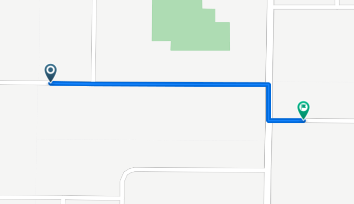
64th Bus stop To Park University
Cycling route in Parkville, Missouri, United States
- 5.7 km
- Distance
- 52 m
- Ascent
- 76 m
- Descent

Order Oxycodone Online Quick Secure Payment Affordable Cost
Cycling route in Parkville, Missouri, United States
- 0.5 km
- Distance
- 6 m
- Ascent
- 15 m
- Descent

South East Street, Parkville to North Bradford Avenue 9415, Kansas City
Cycling route in Parkville, Missouri, United States
- 29.4 km
- Distance
- 195 m
- Ascent
- 73 m
- Descent
Discover more routes
 South Main Street 100, Parkville to North Bradford Avenue 9415, Kansas City
- Distance
- 17.3 km
- Ascent
- 256 m
- Descent
- 172 m
- Location
- Parkville, Missouri, United States
 Test
Test- Distance
- 133.3 km
- Ascent
- 320 m
- Descent
- 319 m
- Location
- Parkville, Missouri, United States
 8840–8898 Clark Ave, Parkville to 300 NW Richards Rd, Kansas City
- Distance
- 21.4 km
- Ascent
- 230 m
- Descent
- 294 m
- Location
- Parkville, Missouri, United States
 8511 NW 62nd Terr, Parkville to 601 E 12th St, Kansas City
- Distance
- 23.9 km
- Ascent
- 260 m
- Descent
- 240 m
- Location
- Parkville, Missouri, United States
 173 S Main St, Parkville to 201 Main St, Parkville
- Distance
- 14.5 km
- Ascent
- 52 m
- Descent
- 41 m
- Location
- Parkville, Missouri, United States
 Parkville to NKC
- Distance
- 23 km
- Ascent
- 182 m
- Descent
- 117 m
- Location
- Parkville, Missouri, United States
 S Main St, Parkville to 173 S Main St, Parkville
- Distance
- 7 km
- Ascent
- 9 m
- Descent
- 6 m
- Location
- Parkville, Missouri, United States
 Snail-like route in Kansas City
- Distance
- 8.8 km
- Ascent
- 128 m
- Descent
- 63 m
- Location
- Parkville, Missouri, United States