
Cycling in Sixteen Mile Stand
Discover a map of 6 cycling routes and bike trails near Sixteen Mile Stand, created by our community.
Be a pioneer
Inspire fellow cyclists with your route in Sixteen Mile Stand
Bikemap is a global cycling community with millions of routes created by cyclists like you. There are only a few routes so far in Sixteen Mile Stand, so plot your favourite rides on the map now to help others find the best ways to ride.
From our community
The best bike routes in and around Sixteen Mile Stand


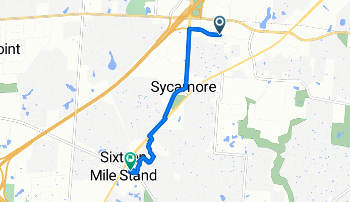
Maxim Way, Cincinnati to W Seymour Ave, Cincinnati
Cycling route in Sixteen Mile Stand, Ohio, United States
- 27.4 km
- Distance
- 176 m
- Ascent
- 273 m
- Descent

Lake Waynoka Trip
Cycling route in Sixteen Mile Stand, Ohio, United States
- 80.5 km
- Distance
- 278 m
- Ascent
- 216 m
- Descent
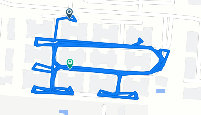
Maxim Way, Cincinnati to Maxim Way, Cincinnati
Cycling route in Sixteen Mile Stand, Ohio, United States
- 3.4 km
- Distance
- 10 m
- Ascent
- 12 m
- Descent
Maxim Way, Cincinnati to Montgomery Rd, Cincinnati
Cycling route in Sixteen Mile Stand, Ohio, United States
- 3.7 km
- Distance
- 19 m
- Ascent
- 31 m
- Descent