
Cycling in Moorefield
Discover a map of 3 cycling routes and bike trails near Moorefield, created by our community.
National Forest Loop RTR
Cycling route in Moorefield, West Virginia, United States
- 132.4 km
- Distance
- 1,675 m
- Ascent
- 1,661 m
- Descent

Backside to Dorcas/Durgon/Tannery/Backside Climb RTR
Cycling route in Moorefield, West Virginia, United States
- 82.2 km
- Distance
- 1,247 m
- Ascent
- 1,250 m
- Descent
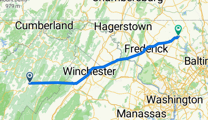
Moorefield - Westminster
Cycling route in Moorefield, West Virginia, United States
- 190 km
- Distance
- 0 m
- Ascent
- 0 m
- Descent