
Carpenter St, Boston to Rogers St, Boston
- 22.4 km
- 292 m
- 296 m
- South Boston, Massachusetts, United States

Discover a map of 367 cycling routes and bike trails near South Boston, created by our community.
Region portrait
Find the right bike route for you through South Boston, where we've got 367 cycle routes to explore. Most people get on their bikes to ride here in the months of April and July.
5,108 km
Tracked distance
367
Cycle routes
571,281
Population
Community
Handpicked routes
From our community
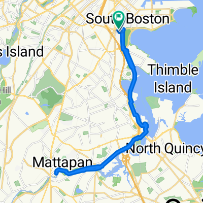
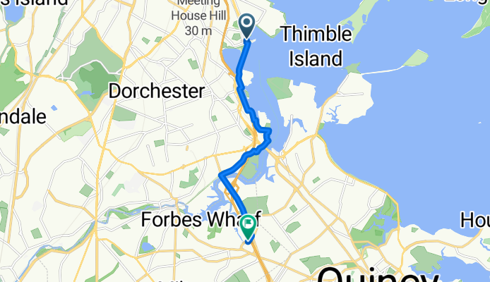
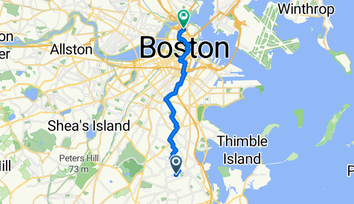
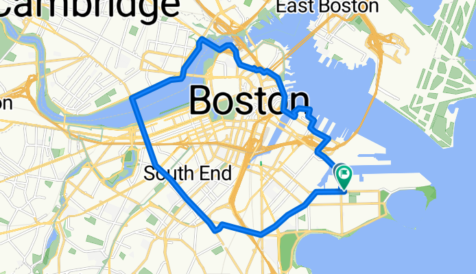
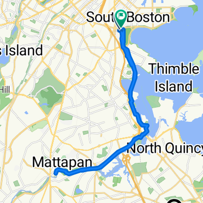
Cycling route in South Boston, Massachusetts, United States
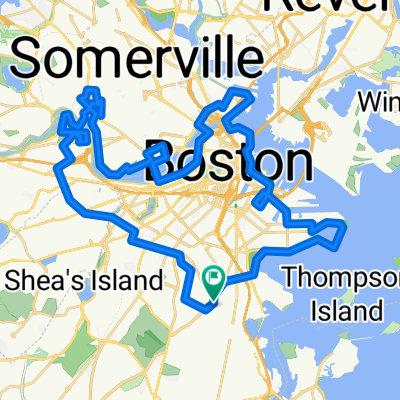
Cycling route in South Boston, Massachusetts, United States


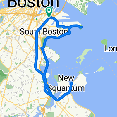
Cycling route in South Boston, Massachusetts, United States


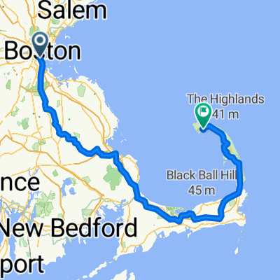
Cycling route in South Boston, Massachusetts, United States
By bicycle from
By bicycle from
By bicycle from