
Cycling in Moultonborough
Discover a map of 8 cycling routes and bike trails near Moultonborough, created by our community.
Be a pioneer
Inspire fellow cyclists with your route in Moultonborough
Bikemap is a global cycling community with millions of routes created by cyclists like you. There are only a few routes so far in Moultonborough, so plot your favourite rides on the map now to help others find the best ways to ride.
From our community
The best bike routes in and around Moultonborough
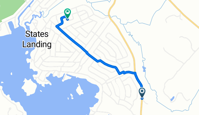
Governor Wentworth Highway 848, Moultonborough to Saint Moritz Street 49, Moultonborough
Cycling route in Moultonborough, New Hampshire, United States
- 2.7 km
- Distance
- 41 m
- Ascent
- 44 m
- Descent

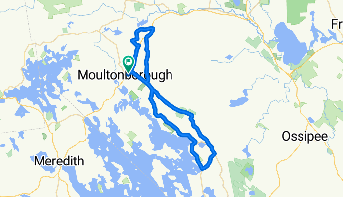
Moultonborough Tuftonboro loop
Cycling route in Moultonborough, New Hampshire, United States
- 39.1 km
- Distance
- 325 m
- Ascent
- 324 m
- Descent

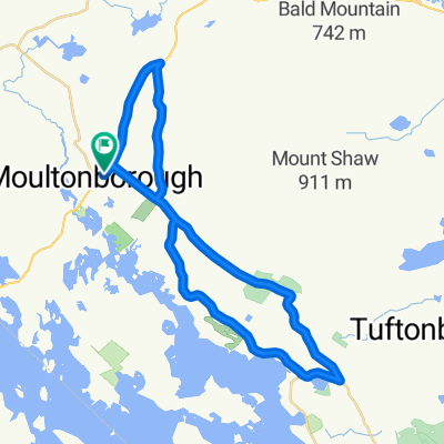
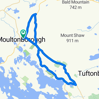
Moultonboro wolfboro loop
Cycling route in Moultonborough, New Hampshire, United States
- 61 km
- Distance
- 491 m
- Ascent
- 491 m
- Descent
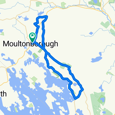
Old Rte 109, Moultonborough to Old Rte 109, Moultonborough
Cycling route in Moultonborough, New Hampshire, United States
- 50.6 km
- Distance
- 598 m
- Ascent
- 599 m
- Descent
Discover more routes
 Whittier Hwy, Moultonborough to Whittier Hwy, Moultonborough
- Distance
- 39.8 km
- Ascent
- 417 m
- Descent
- 399 m
- Location
- Moultonborough, New Hampshire, United States
 Old Rte 109, Moultonborough to Whittier Hwy, Moultonborough
- Distance
- 50.6 km
- Ascent
- 596 m
- Descent
- 596 m
- Location
- Moultonborough, New Hampshire, United States
 Whittier Hwy, Moultonborough to Whittier Hwy, Moultonborough
- Distance
- 50.7 km
- Ascent
- 581 m
- Descent
- 580 m
- Location
- Moultonborough, New Hampshire, United States
 Whittier Hwy, Moultonborough to Whittier Hwy, Moultonborough
- Distance
- 39.9 km
- Ascent
- 389 m
- Descent
- 394 m
- Location
- Moultonborough, New Hampshire, United States