
Cycling in Smithville
Discover a map of 5 cycling routes and bike trails near Smithville, created by our community.
Be a pioneer
Inspire fellow cyclists with your route in Smithville
Bikemap is a global cycling community with millions of routes created by cyclists like you. There are only a few routes so far in Smithville, so plot your favourite rides on the map now to help others find the best ways to ride.
From our community
The best bike routes in and around Smithville

virus map
Cycling route in Smithville, Ohio, United States of America
- 686.4 km
- Distance
- 1,694 m
- Ascent
- 1,914 m
- Descent

8/13 Ride
Cycling route in Smithville, Ohio, United States of America
- 56.3 km
- Distance
- 227 m
- Ascent
- 227 m
- Descent
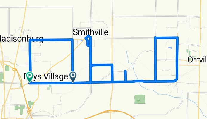
Ohio route near Wooster and Orrville
Cycling route in Smithville, Ohio, United States of America
- 50.3 km
- Distance
- 192 m
- Ascent
- 200 m
- Descent

West Main Street 148, Smithville to Sunrise Highway 189a, Amityville
Cycling route in Smithville, Ohio, United States of America
- 1,023.3 km
- Distance
- 6,930 m
- Ascent
- 7,245 m
- Descent