


Cycling in Boyle Heights
Discover a map of 100 cycling routes and bike trails near Boyle Heights, created by our community.
Region portrait
Get to know Boyle Heights
Find the right bike route for you through Boyle Heights, where we've got 100 cycle routes to explore. Most people get on their bikes to ride here in the months of April and October.
23,066 km
Tracked distance
100
Cycle routes
92,785
Population
Community
Most active users in Boyle Heights
From our community
The best bike routes in and around Boyle Heights
From Los Angeles to Norwalk
Cycling route in Boyle Heights, California, United States
- 29.2 km
- Distance
- 85 m
- Ascent
- 108 m
- Descent


North Cummings Street to Walton Avenue
Cycling route in Boyle Heights, California, United States
- 20.1 km
- Distance
- 210 m
- Ascent
- 213 m
- Descent
Route
Cycling route in Boyle Heights, California, United States
- 104.2 km
- Distance
- 303 m
- Ascent
- 300 m
- Descent
ZDA (west - east)
Cycling route in Boyle Heights, California, United States
- 5,351.4 km
- Distance
- 7,525 m
- Ascent
- 7,596 m
- Descent
Discover more routes
- All routes in Boyle Heights
- Round trips
- Relaxed
- Gravel
- Road
- MTB
- Trekking


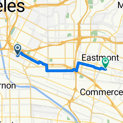 Wynwood Ln, Los Angeles to Grace Pl, Commerce0
- 7.7 km
- 29 m
- 43 m
- Boyle Heights, California, United States
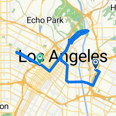 Vicente Fernandez St, Los Angeles to W 7th St, Los Angeles0
- 20.2 km
- 173 m
- 197 m
- Boyle Heights, California, United States


 1995 E 20th St, Los Angeles to 1408 E Adams Blvd, Los Angeles0
- 1.3 km
- 0 m
- 0 m
- Boyle Heights, California, United States
 East Cesar E Chavez Avenue 2630, Los Angeles to Atlantic Blvd/Avenida Cesar Chavez, Monterey Park0
- 6.2 km
- 0 m
- 0 m
- Boyle Heights, California, United States


