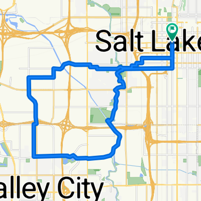


W 4035 S, West Valley City to W 4035 S, West Valley City
- 13 km
- 92 m
- 98 m
- Magna, Utah, United States

Discover a map of 4,018 cycling routes and bike trails in Utah, created by our community.
Region portrait
Find the right bike route for you through Utah, where we've got 4,018 cycle routes to explore. Most people get on their bikes to ride here in the months of July and August.
195,369 km
Tracked distance
4,018
Cycle routes
Community
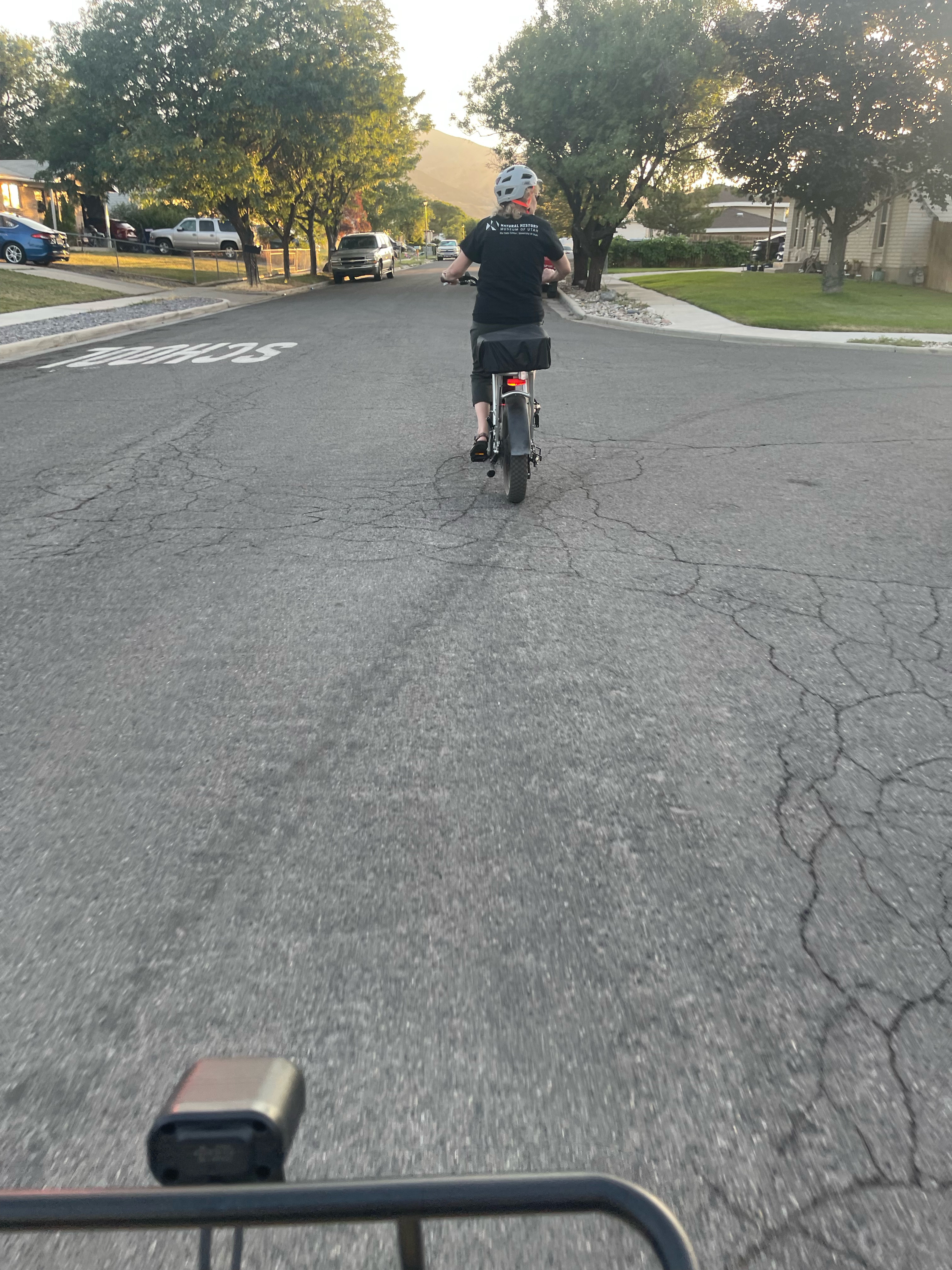
Handpicked routes
From our community


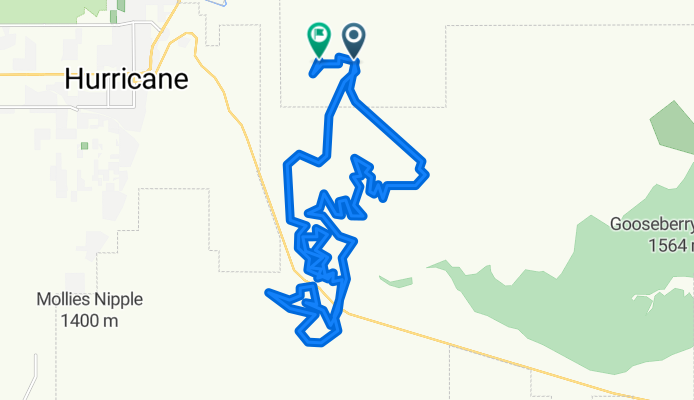
Cycling route in LaVerkin, Utah, United States


Cycling route in LaVerkin, Utah, United States


Cycling route in South Salt Lake, Utah, United States
Cycling route in Ivins, Utah, United States
14 cycling routes
7 cycling routes
9 cycling routes
29 cycling routes
10 cycling routes
See where people are biking in United States