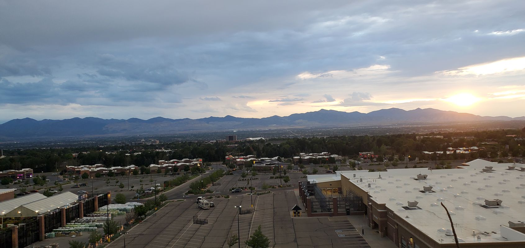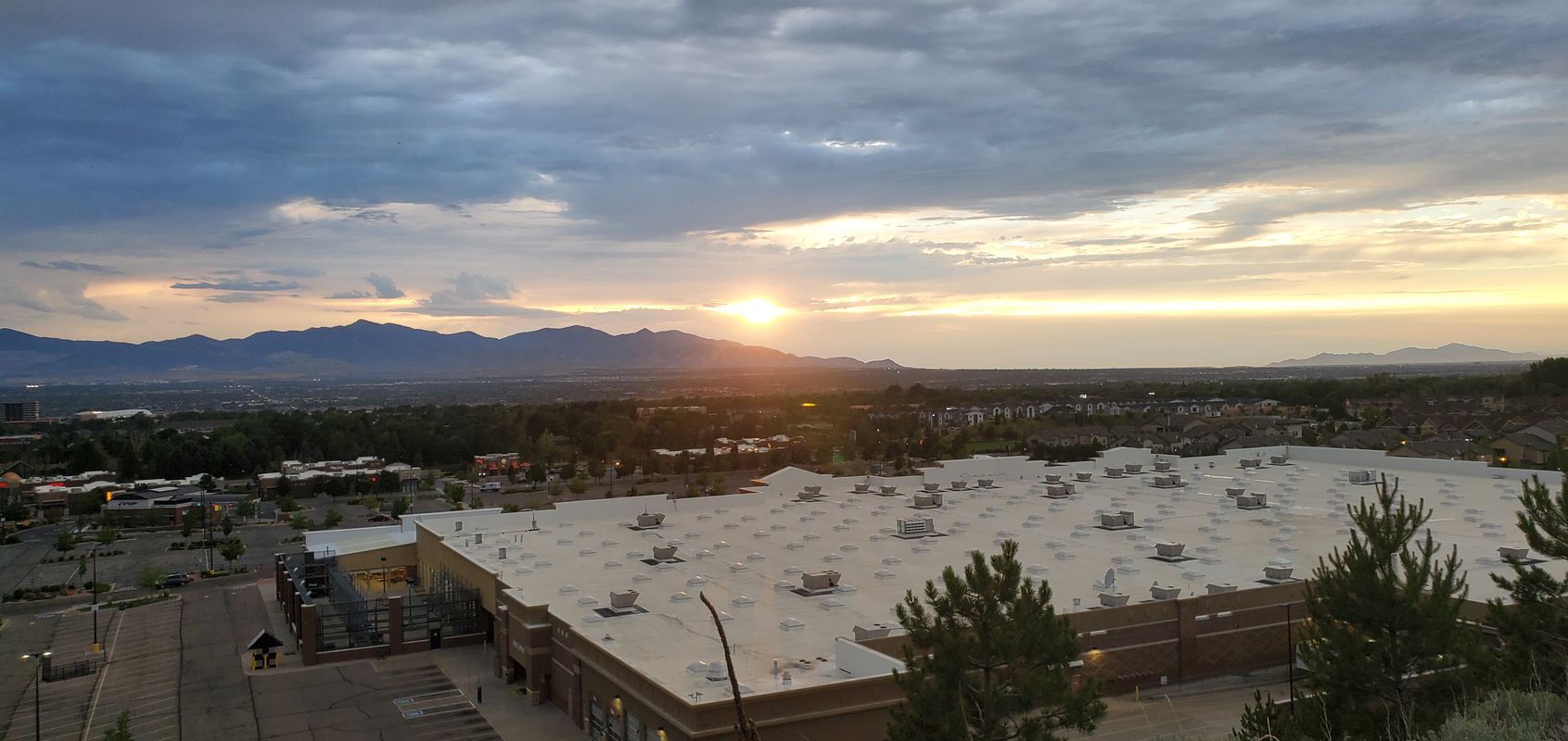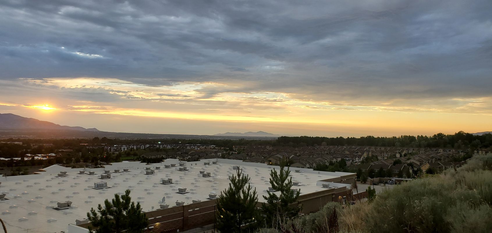
Cycling in Sandy City
Discover a map of 30 cycling routes and bike trails near Sandy City, created by our community.
Region portrait
Get to know Sandy City
Find the right bike route for you through Sandy City, where we've got 30 cycle routes to explore. Most people get on their bikes to ride here in the month of August.
800 km
Tracked distance
30
Cycle routes
87,461
Population
Handpicked routes
Discover Sandy City through these collections
Tour
From our community
The best bike routes in and around Sandy City
Sunset Loop (WCT to PRT)
Cycling route in Sandy City, Utah, United States
- 18.7 km
- Distance
- 90 m
- Ascent
- 90 m
- Descent
Discover more routes
 Epic Loop
- Distance
- 32.1 km
- Ascent
- 299 m
- Descent
- 299 m
- Location
- Sandy City, Utah, United States
 Dimple Dell Gultch
- Distance
- 23.8 km
- Ascent
- 247 m
- Descent
- 246 m
- Location
- Sandy City, Utah, United States
 The Four Quadrants
- Distance
- 23.8 km
- Ascent
- 134 m
- Descent
- 132 m
- Location
- Sandy City, Utah, United States
 Halfie's Route No#2 (No Single Track)
- Distance
- 19.5 km
- Ascent
- 227 m
- Descent
- 226 m
- Location
- Sandy City, Utah, United States
 Halfie's Route
- Distance
- 21.3 km
- Ascent
- 247 m
- Descent
- 247 m
- Location
- Sandy City, Utah, United States
 Taylorsville Park Route
- Distance
- 11.9 km
- Ascent
- 42 m
- Descent
- 47 m
- Location
- Sandy City, Utah, United States
 Murdoch Canal to Porter Rockwell Trails
- Distance
- 35.3 km
- Ascent
- 239 m
- Descent
- 121 m
- Location
- Sandy City, Utah, United States
 Road/Trail Loop
- Distance
- 20.5 km
- Ascent
- 206 m
- Descent
- 206 m
- Location
- Sandy City, Utah, United States


