
Cycling in Carson
Discover a map of 8 cycling routes and bike trails near Carson, created by our community.
Region portrait
Get to know Carson
Find the right bike route for you through Carson, where we've got 8 cycle routes to explore.
409 km
Tracked distance
8
Cycle routes
2,279
Population
Community
Most active users in Carson


From our community
The best bike routes in and around Carson

Panther Creek Road, Carson to National Forest Development Road 65, Carson
Cycling route in Carson, Washington, United States of America
- 85.6 km
- Distance
- 2,885 m
- Ascent
- 2,868 m
- Descent
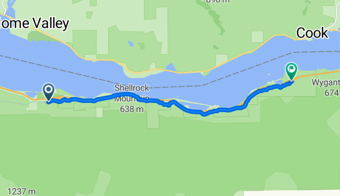
Cascade Locks to Viento
Cycling route in Carson, Washington, United States of America
- 9 km
- Distance
- 283 m
- Ascent
- 286 m
- Descent

Starvation Creek To Wyeth
Cycling route in Carson, Washington, United States of America
- 8.4 km
- Distance
- 169 m
- Ascent
- 167 m
- Descent

Slow ride in Hood River
Cycling route in Carson, Washington, United States of America
- 3.4 km
- Distance
- 72 m
- Ascent
- 86 m
- Descent
Discover more routes
 698 SE Herman Creek Rd, Cascade Locks to 698 SE Herman Creek Rd, Cascade Locks
- Distance
- 17.9 km
- Ascent
- 135 m
- Descent
- 160 m
- Location
- Carson, Washington, United States of America
 Herman Creek Road 750, Cascade Locks to Herman Creek Road 750, Cascade Locks
- Distance
- 38.2 km
- Ascent
- 470 m
- Descent
- 437 m
- Location
- Carson, Washington, United States of America
 ROAM 2011: Cascade Locks - Umatilla
- Distance
- 238.8 km
- Ascent
- 586 m
- Descent
- 504 m
- Location
- Carson, Washington, United States of America
 698 SE Herman Creek Rd, Cascade Locks to 698 SE Herman Creek Rd, Cascade Locks
- Distance
- 8.1 km
- Ascent
- 169 m
- Descent
- 167 m
- Location
- Carson, Washington, United States of America