

220th Avenue Southeast 5506, Issaquah to 220th Avenue Southeast 5506, Issaquah
- 53.2 km
- 40 m
- 43 m
- Issaquah, Washington, United States

Discover a map of 100 cycling routes and bike trails near Issaquah, created by our community.
Region portrait
Find the right bike route for you through Issaquah, where we've got 100 cycle routes to explore. Most people get on their bikes to ride here in the months of May and August.
2,196 km
Tracked distance
100
Cycle routes
30,434
Population
Community
From our community
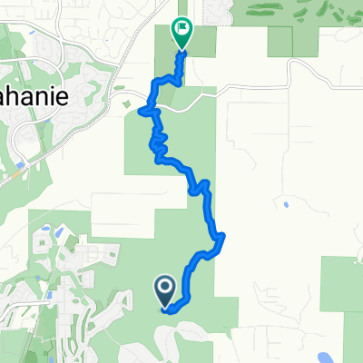
Cycling route in Issaquah, Washington, United States
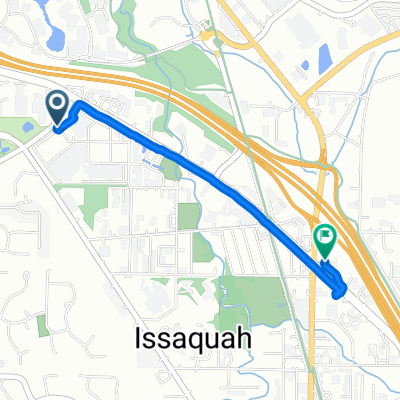
Cycling route in Issaquah, Washington, United States
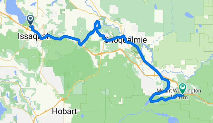
Cycling route in Issaquah, Washington, United States
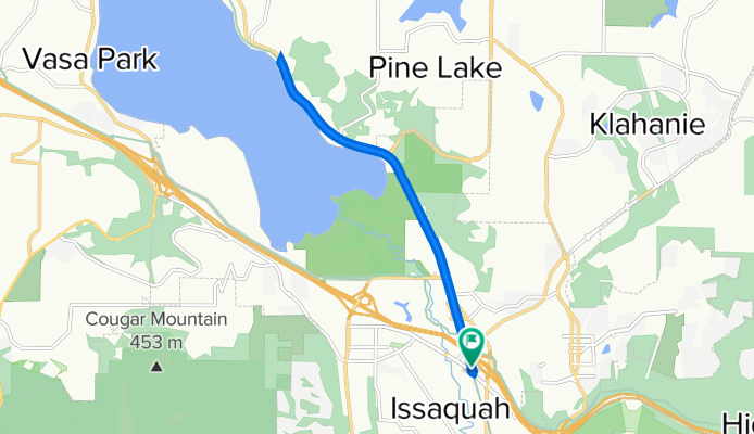
Cycling route in Issaquah, Washington, United States