Cycling in South Bend
Discover a map of 6 cycling routes and bike trails near South Bend, created by our community.
Region portrait
Get to know South Bend
Find the right bike route for you through South Bend, where we've got 6 cycle routes to explore.
508 km
Tracked distance
6
Cycle routes
1,637
Population
From our community
The best bike routes in and around South Bend
032a panamericana
Cycling route in South Bend, Washington, United States
- 149.8 km
- Distance
- 716 m
- Ascent
- 726 m
- Descent
2941 Kindred Ave, Tokeland to 1925 Bay Ave, Ocean Park
Cycling route in South Bend, Washington, United States
- 122 km
- Distance
- 260 m
- Ascent
- 259 m
- Descent
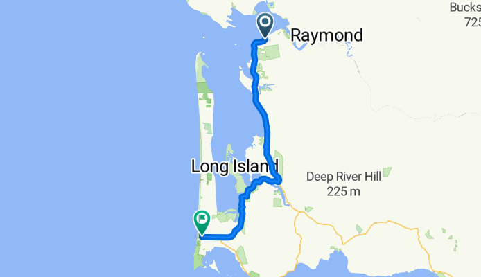
Bruceport Park Rd, South Bend to 5 N Head Lighthouse Rd, Seaview
Cycling route in South Bend, Washington, United States
- 63.2 km
- Distance
- 177 m
- Ascent
- 218 m
- Descent
U.S. to Pacific Way
Cycling route in South Bend, Washington, United States
- 57.6 km
- Distance
- 442 m
- Ascent
- 470 m
- Descent


