
Cycling in Tenino
Discover a map of 17 cycling routes and bike trails near Tenino, created by our community.
Region portrait
Get to know Tenino
Find the right bike route for you through Tenino, where we've got 17 cycle routes to explore.
982 km
Tracked distance
17
Cycle routes
1,695
Population


From our community
The best bike routes in and around Tenino

POOP Day Two
Cycling route in Tenino, Washington, United States
- 105.9 km
- Distance
- 256 m
- Ascent
- 325 m
- Descent

Two County Double Metric Century
Cycling route in Tenino, Washington, United States
- 201.8 km
- Distance
- 1,262 m
- Ascent
- 1,253 m
- Descent

Johnson Creek Road Loop
Cycling route in Tenino, Washington, United States
- 33 km
- Distance
- 170 m
- Ascent
- 171 m
- Descent

5915 Waldrick Rd SE, Tenino to 8209 Ridgefield Ave NE, Lacey
Cycling route in Tenino, Washington, United States
- 47.1 km
- Distance
- 267 m
- Ascent
- 277 m
- Descent
Discover more routes
 Doctors office
- Distance
- 26.6 km
- Ascent
- 163 m
- Descent
- 186 m
- Location
- Tenino, Washington, United States
 West Park Avenue 196, Tenino to West Park Avenue 125, Tenino
- Distance
- 57.5 km
- Ascent
- 1,430 m
- Descent
- 1,391 m
- Location
- Tenino, Washington, United States
 Chehalis Western Trail, Olympia to Axis Street Southeast 6737, Lacey
- Distance
- 8.1 km
- Ascent
- 32 m
- Descent
- 43 m
- Location
- Tenino, Washington, United States
 Tenino Cycling
- Distance
- 96.9 km
- Ascent
- 391 m
- Descent
- 370 m
- Location
- Tenino, Washington, United States
 Route to 8208 Ridgefield Ave NE, Lacey
- Distance
- 45.7 km
- Ascent
- 253 m
- Descent
- 271 m
- Location
- Tenino, Washington, United States
 Chehalis Western Trail, Olympia to 1514 Brighton Way SE, Olympia
- Distance
- 14.5 km
- Ascent
- 1,136 m
- Descent
- 1,146 m
- Location
- Tenino, Washington, United States
 Millersylvannia State Park from Oly High School
- Distance
- 17.2 km
- Ascent
- 186 m
- Descent
- 209 m
- Location
- Tenino, Washington, United States
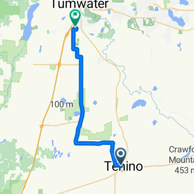 262 Howard St N, Tenino to 700 Israel Rd SW, Tumwater
- Distance
- 20.1 km
- Ascent
- 215 m
- Descent
- 242 m
- Location
- Tenino, Washington, United States