
Cycling in Terara
Discover a map of 3 cycling routes and bike trails near Terara, created by our community.
Be a pioneer
Inspire fellow cyclists with your route in Terara
Bikemap is a global cycling community with millions of routes created by cyclists like you. There are only a few routes so far in Terara, so plot your favourite rides on the map now to help others find the best ways to ride.
From our community
The best bike routes in and around Terara
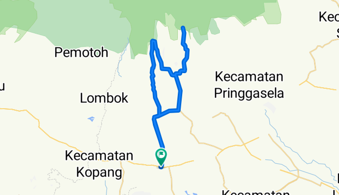
Lombok-Otak Kokoq- Jeruk Manis Uphill
Cycling route in Terara, West Nusa Tenggara, Indonesia
Actual track riden Aug 2012. Start from Terara (car park) uphill to Otak Kokoq Waterfall. Then goes to Tetebatu and up to Jeruk Manis Waterfall.
Both Otak Kokoq and Jeruk Manis waterfall are entry to Taman Nasional Gunung Rinjani.
Road to Otak Kokoq was a smooth asphalt road rideable for roadbikes.
Second part of track to Jeruk Manis waterfall was a gravel (being repaired) road which only rideable for mountainbikes.
Beautiful Sasak countryside scenery with a lot of paddy field and tobbacco plantations.
Guest houses for tourist are available in Tetebatu area.
- 39.3 km
- Distance
- 629 m
- Ascent
- 629 m
- Descent
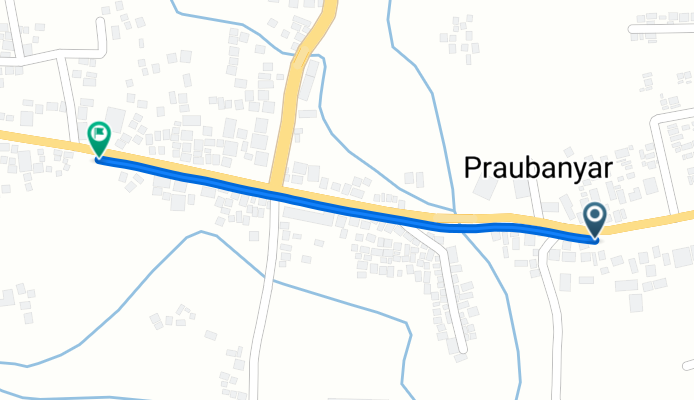
Jalan Raya Mataram - Sikur to Jalan Raya
Cycling route in Terara, West Nusa Tenggara, Indonesia
- 0.9 km
- Distance
- 9 m
- Ascent
- 41 m
- Descent
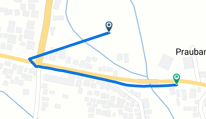
Route from 9C65+8X9
Cycling route in Terara, West Nusa Tenggara, Indonesia
- 0.8 km
- Distance
- 0 m
- Ascent
- 83 m
- Descent