
Cycling in San José Guadalupe Otzacatipan
Discover a map of 5 cycling routes and bike trails near San José Guadalupe Otzacatipan, created by our community.
Be a pioneer
Inspire fellow cyclists with your route in San José Guadalupe Otzacatipan
Bikemap is a global cycling community with millions of routes created by cyclists like you. There are only a few routes so far in San José Guadalupe Otzacatipan, so plot your favourite rides on the map now to help others find the best ways to ride.
From our community
The best bike routes in and around San José Guadalupe Otzacatipan


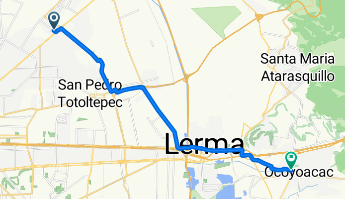
De Emiliano Zapata a Avenida de Septiembre
Cycling route in San José Guadalupe Otzacatipan, State of Mexico, Mexico
- 19.8 km
- Distance
- 86 m
- Ascent
- 89 m
- Descent
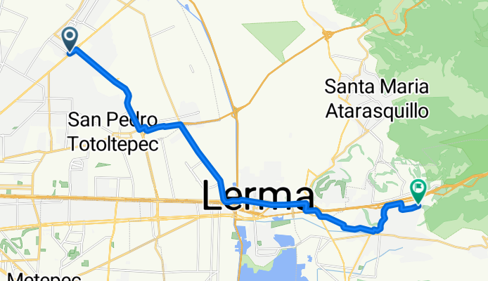
De Emiliano Zapata a Hacienda Pasteje
Cycling route in San José Guadalupe Otzacatipan, State of Mexico, Mexico
- 23.6 km
- Distance
- 297 m
- Ascent
- 134 m
- Descent
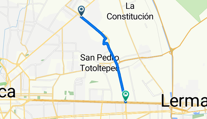
Ruta relajada
Cycling route in San José Guadalupe Otzacatipan, State of Mexico, Mexico
- 8.7 km
- Distance
- 70 m
- Ascent
- 61 m
- Descent
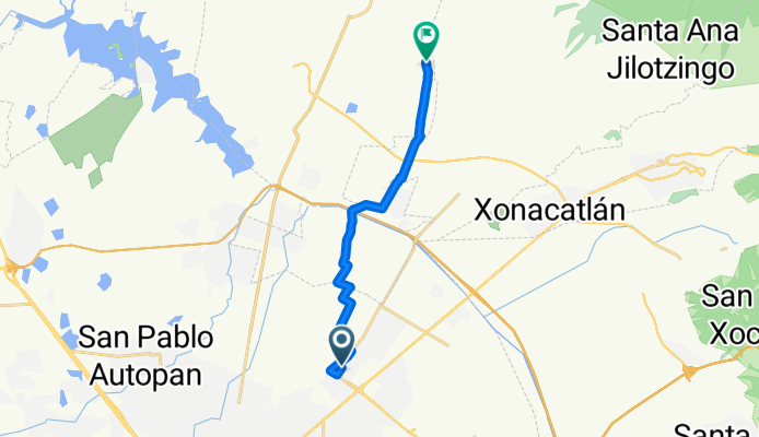
De Abetos 14, San José Guadalupe a Unnamed Road
Cycling route in San José Guadalupe Otzacatipan, State of Mexico, Mexico
- 14.7 km
- Distance
- 78 m
- Ascent
- 38 m
- Descent