
Cycling in Ocopulco
Discover a cycling-focused map of Ocopulco, featuring highlighted cycle paths, trails, and points of interest.
Be a pioneer
Inspire fellow cyclists with your route in Ocopulco
Bikemap is a global cycling community with millions of routes created by cyclists like you. There is only one route so far in Ocopulco, so plot your favourite rides on the map now to help others find the best ways to ride.
From our community
The best bike routes in and around Ocopulco
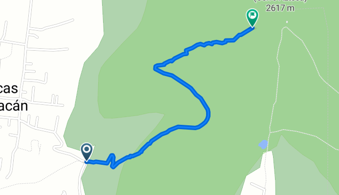
Calle de Los Olivos, Tlaltecahuacán a Chiautla
Cycling route in Ocopulco, State of Mexico, Mexico
- 2.2 km
- Distance
- 315 m
- Ascent
- 4 m
- Descent