
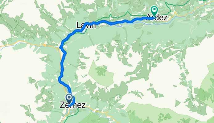
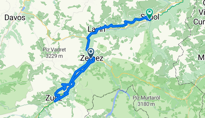
Route template
Zernez to Scuol

- 2 h 37 min
- Duration
- 33.4 km
- Distance
- 1,166 m
- Ascent
- 1,429 m
- Descent
- 12.8 km/h
- Avg. speed
- 1,638 m
- Max. altitude
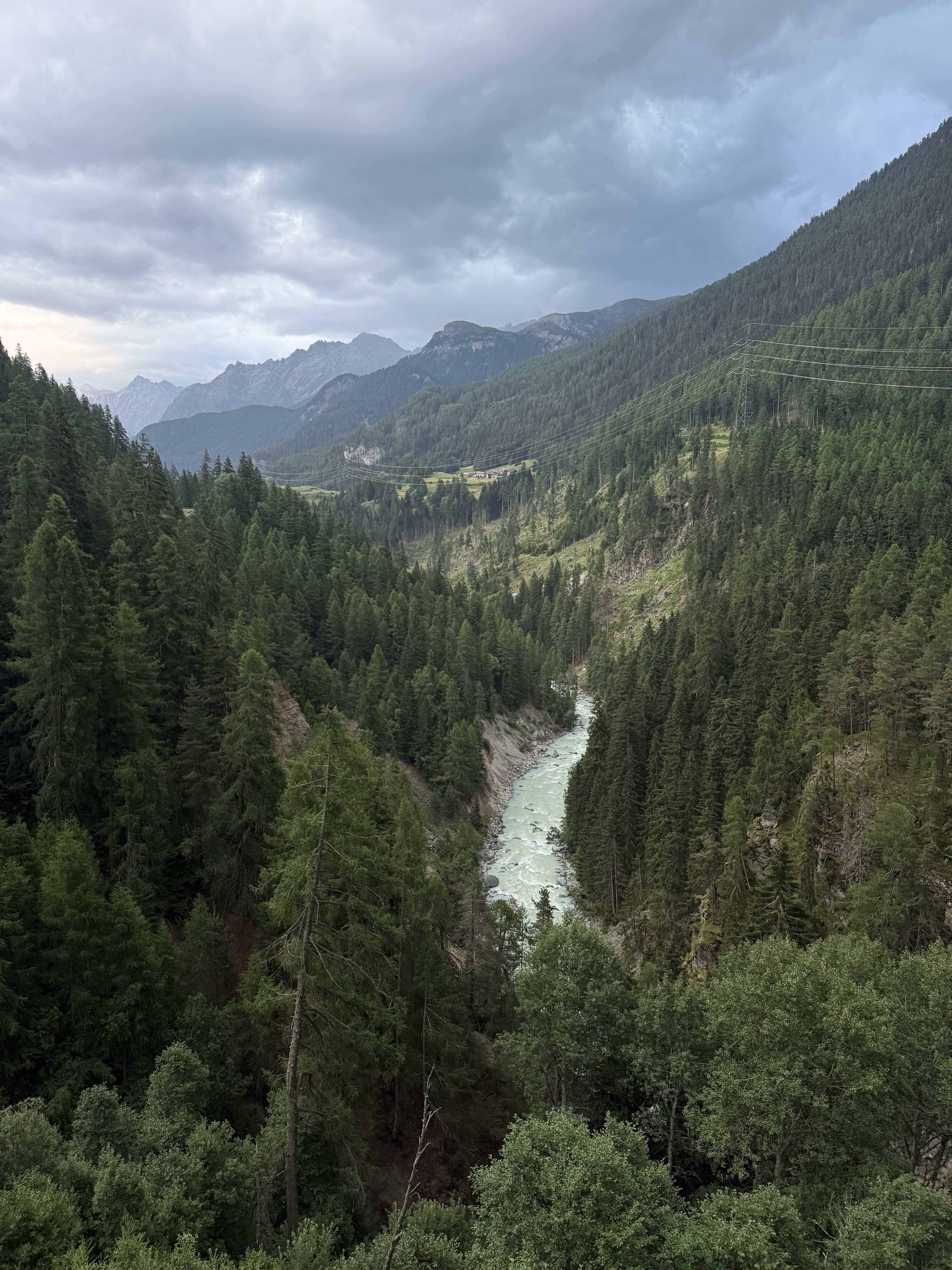
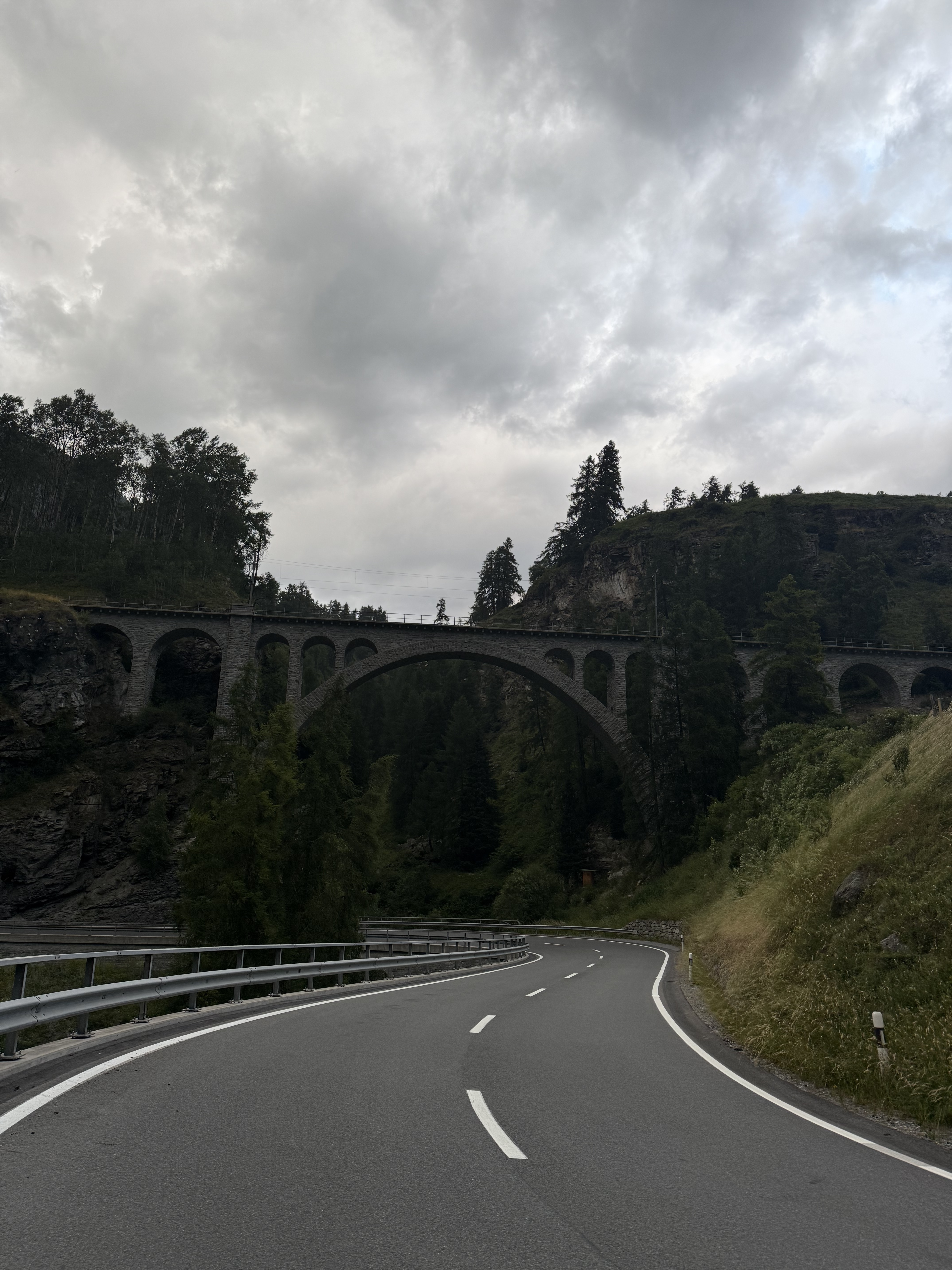
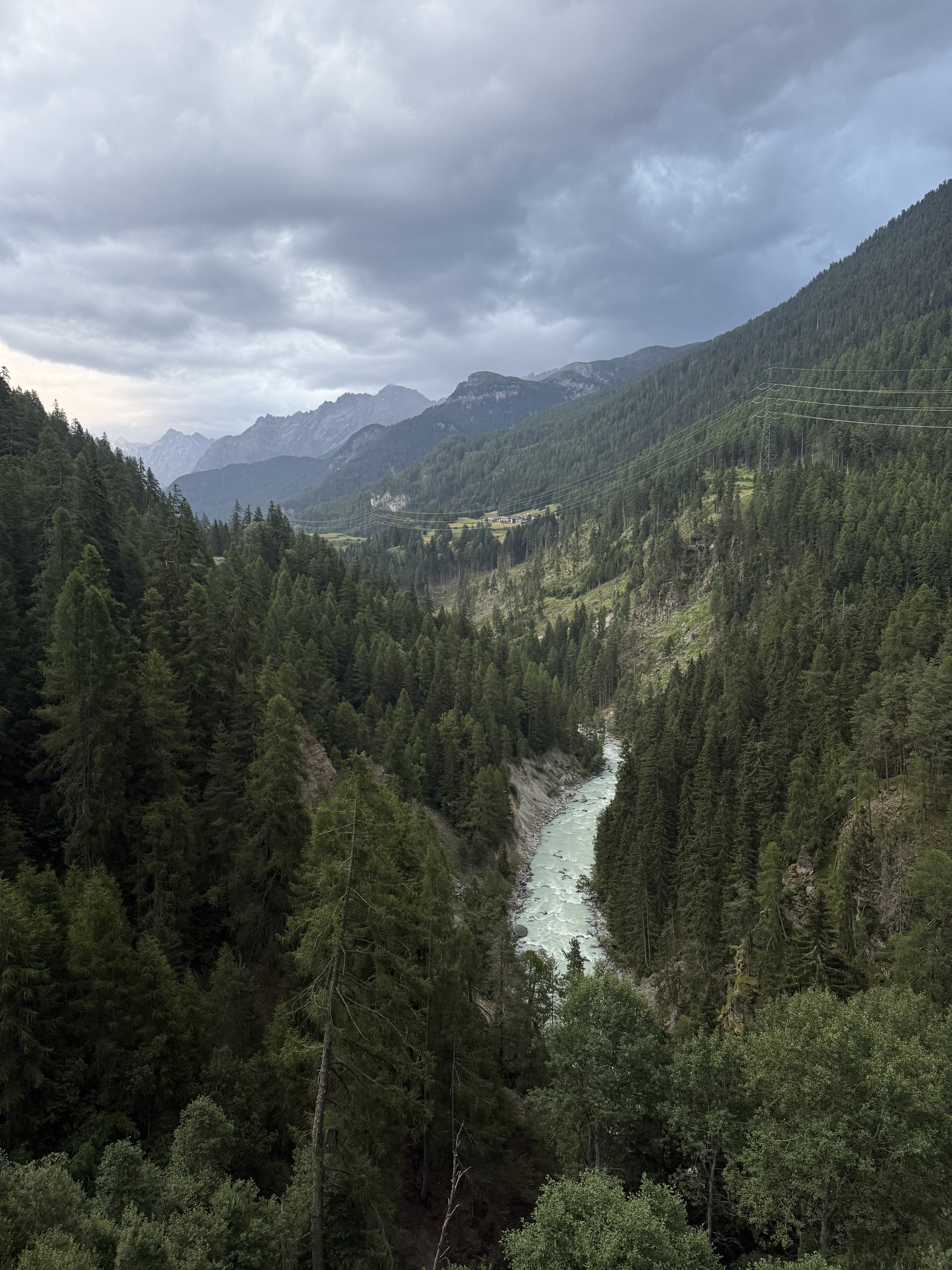
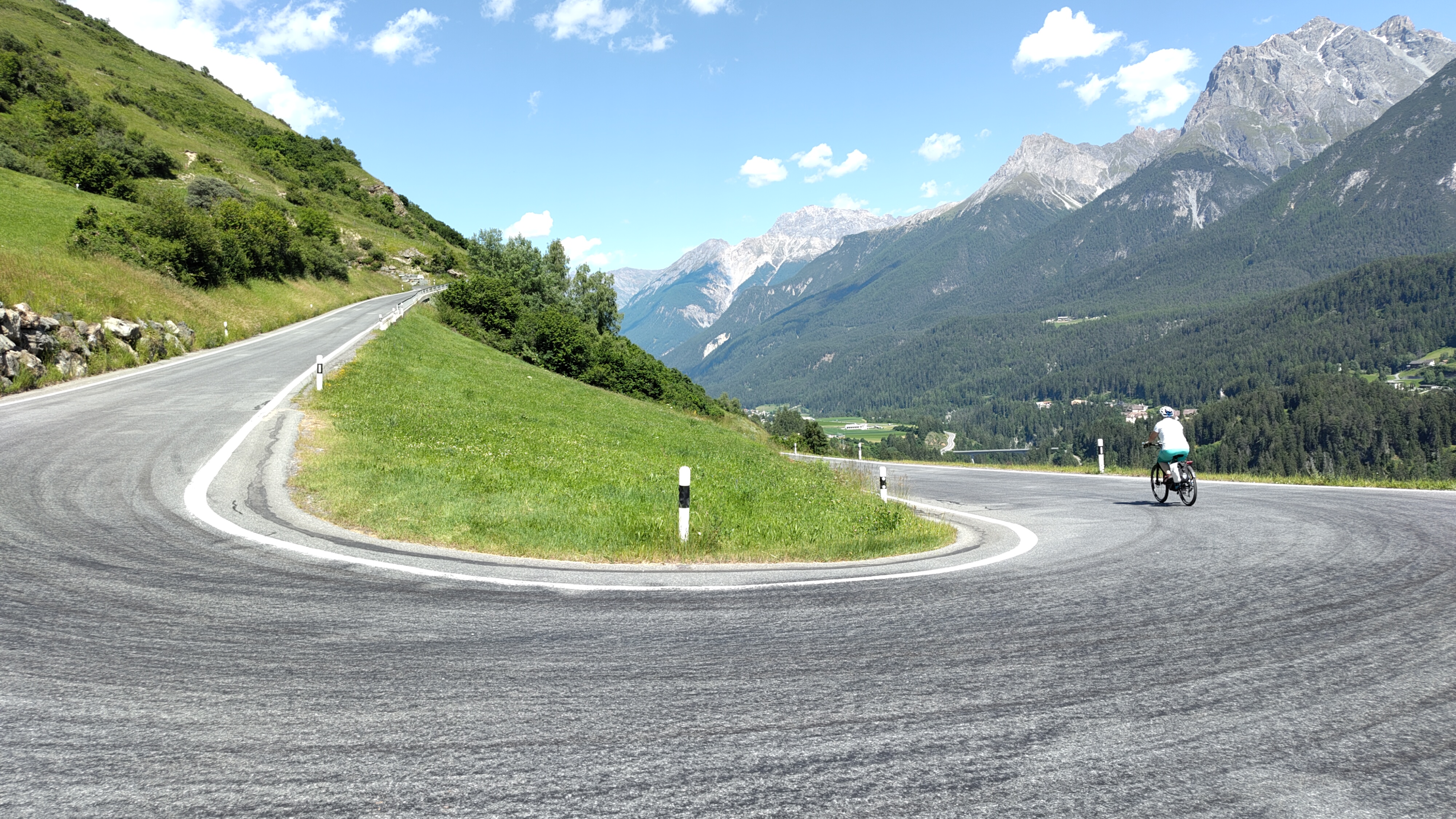
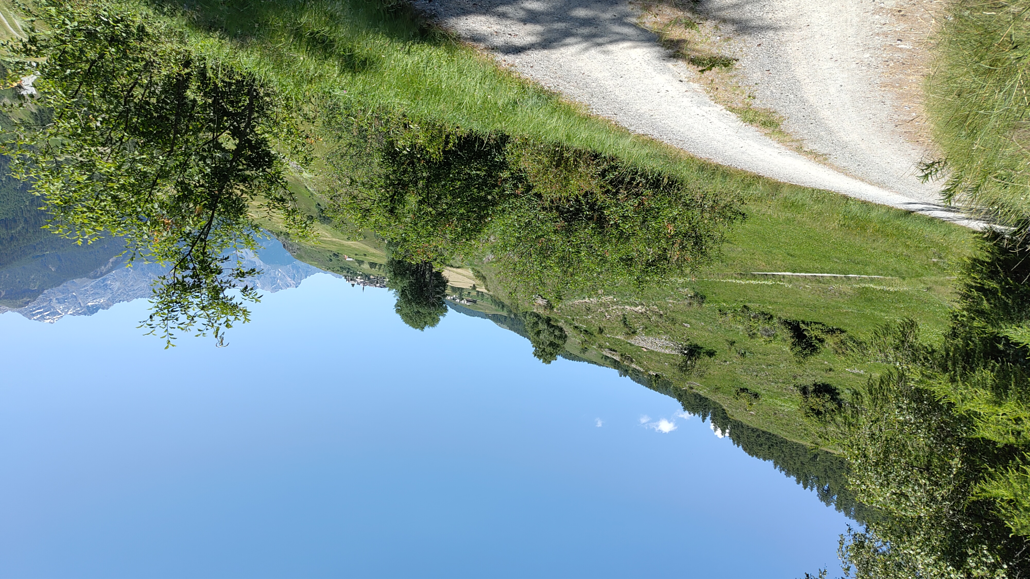
This ride takes you from the Alpine gateway of Zernez to the charming spa town of Scuol, right in the heart of Switzerland’s stunning Engadin region. You’ll cover about 33 km, winding through pristine valleys and climbing over 1,100 meters—so get ready for a solid workout and some epic scenery. The route mixes things up with a blend of paved roads, gravel tracks, and unpaved stretches, keeping things interesting for gravel bikes or sturdy hybrids.
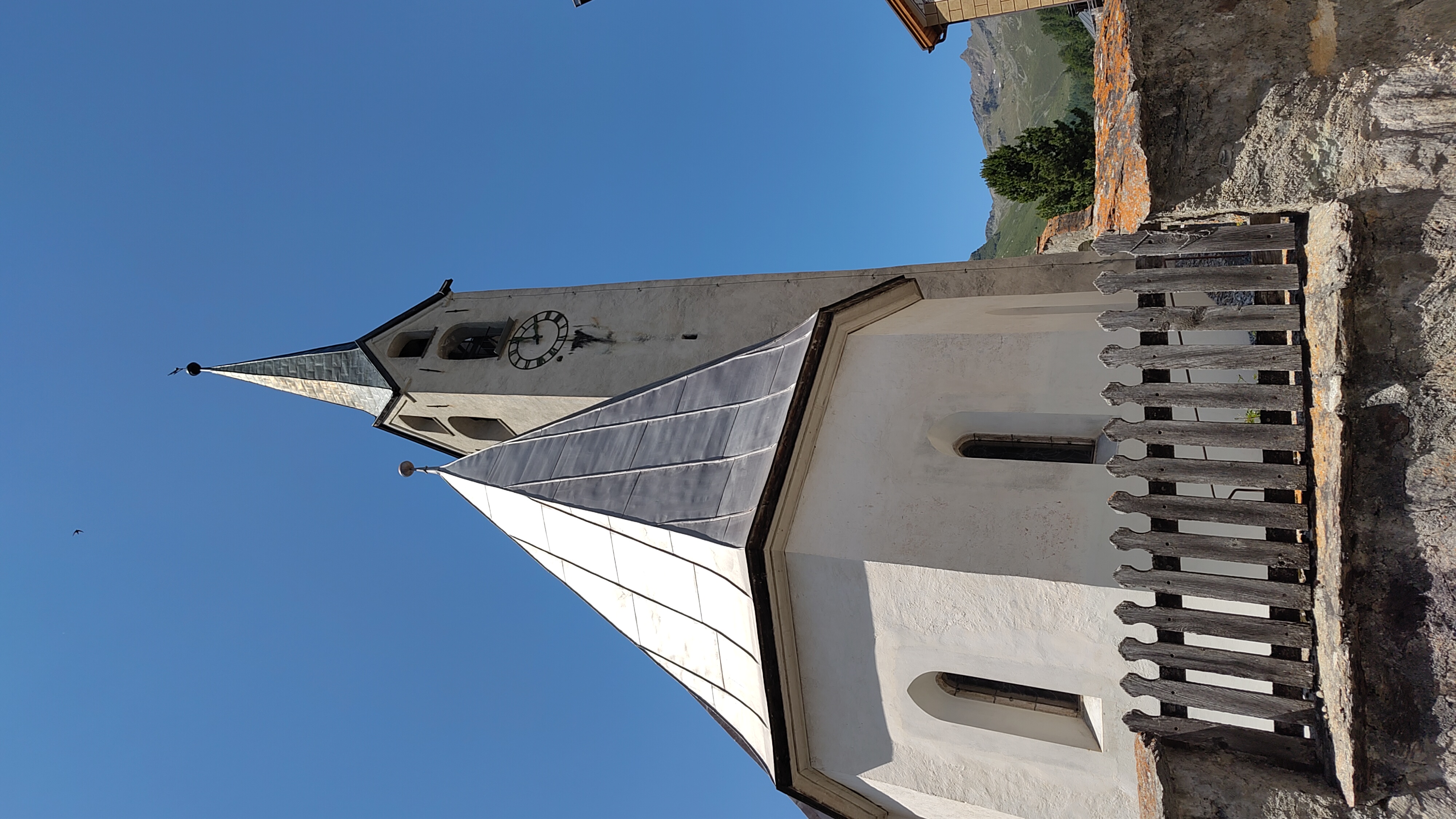
Zernez is your launchpad, known as the entrance to the Swiss National Park. As you head out, don’t be surprised by the quiet roads and long stretches of gravel under your wheels—this valley feels a world away from city life. The ride treats you to forested climbs, mountain vistas, and fast descents as you approach Scuol, which is famous for its historic mineral baths and postcard-worthy Engadin architecture.
Grab a snack in Zernez before you start, and save some energy for that last push to Scuol—your legs will thank you in the spa!
Bikepacking tours
Already sliced up into perfect stages by our community
Community
Top users in this region


From our community
The best bike routes from Zernez to Scuol

10.06.21 Zernez-Prutz Inntalradweg 2. Etappe
Cycling route in Zernez, Grisons, Switzerland
- 148.2 km
- Distance
- 11,052 m
- Ascent
- 11,059 m
- Descent
Zernez nach Arfusch, Ardez
Cycling route in Zernez, Grisons, Switzerland
- 18.4 km
- Distance
- 190 m
- Ascent
- 201 m
- Descent


Ruzön nach Gurlaina
Cycling route in Zernez, Grisons, Switzerland
- 75.5 km
- Distance
- 1,909 m
- Ascent
- 2,242 m
- Descent
Susch - Guarda - Ardez - Scuol Tarasp
Cycling route in Zernez, Grisons, Switzerland
- 24.6 km
- Distance
- 580 m
- Ascent
- 770 m
- Descent

Inn-Radweg: Tag 2a
Cycling route in Zernez, Grisons, Switzerland
- 31 km
- Distance
- 557 m
- Ascent
- 745 m
- Descent


Munt la Schera-Zernez-Scuol-Munt la Schera
Cycling route in Zernez, Grisons, Switzerland
- 93.9 km
- Distance
- 2,483 m
- Ascent
- 1,793 m
- Descent

Ofenpass & Reschenpass (Zernez (CH) > Malles (IT) > Nauders (AT) > Scuol (CH))
Cycling route in Zernez, Grisons, Switzerland
- 102.2 km
- Distance
- 1,596 m
- Ascent
- 1,777 m
- Descent

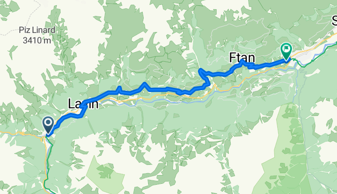
Climb Lavin to Ftan at 6%
Cycling route in Zernez, Grisons, Switzerland
- 15.4 km
- Distance
- 481 m
- Ascent
- 247 m
- Descent

zweiter Tag Innradweg
Cycling route in Zernez, Grisons, Switzerland
- 29.9 km
- Distance
- 490 m
- Ascent
- 687 m
- Descent

03. Tag, 09.07. Zernez – Scuol ca. 35 km
Cycling route in Zernez, Grisons, Switzerland
- 30.4 km
- Distance
- 520 m
- Ascent
- 746 m
- Descent
Discover more routes
 Inn-Radweg: Tag 2a
- Distance
- 31 km
- Ascent
- 557 m
- Descent
- 745 m
- Location
- Zernez, Grisons, Switzerland
 E 3d
E 3d- Distance
- 54 km
- Ascent
- 1,445 m
- Descent
- 2,058 m
- Location
- Zernez, Grisons, Switzerland
 Etappe 2-3
- Distance
- 51.7 km
- Ascent
- 1,545 m
- Descent
- 1,454 m
- Location
- Zernez, Grisons, Switzerland
 Munt la Schera-Zernez-Scuol-Munt la Schera
- Distance
- 93.9 km
- Ascent
- 2,483 m
- Descent
- 1,793 m
- Location
- Zernez, Grisons, Switzerland
 Ofenpass & Reschenpass (Zernez (CH) > Malles (IT) > Nauders (AT) > Scuol (CH))
- Distance
- 102.2 km
- Ascent
- 1,596 m
- Descent
- 1,777 m
- Location
- Zernez, Grisons, Switzerland
 Climb Lavin to Ftan at 6%
- Distance
- 15.4 km
- Ascent
- 481 m
- Descent
- 247 m
- Location
- Zernez, Grisons, Switzerland
 zweiter Tag Innradweg
- Distance
- 29.9 km
- Ascent
- 490 m
- Descent
- 687 m
- Location
- Zernez, Grisons, Switzerland
 03. Tag, 09.07. Zernez – Scuol ca. 35 km
- Distance
- 30.4 km
- Ascent
- 520 m
- Descent
- 746 m
- Location
- Zernez, Grisons, Switzerland
Routes from Zernez
Cycling day trip from
Zernez to Davos
Cycling day trip from
Zernez to Livigno
Routes to Scuol
Cycling day trip from
St. Moritz to Scuol
Cycling day trip from
Galtür to Scuol