
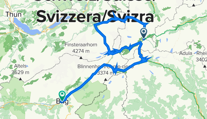
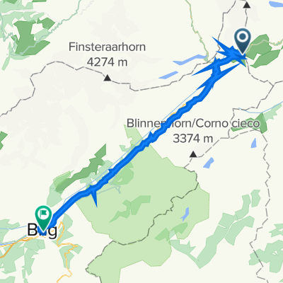
Route template
Andermatt to Brig
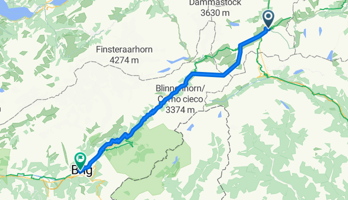
- 5 h 4 min
- Duration
- 79.8 km
- Distance
- 1,449 m
- Ascent
- 2,213 m
- Descent
- 15.8 km/h
- Avg. speed
- 1,547 m
- Max. altitude
Get ready for an epic cycling journey from the charming alpine town of Andermatt to the historic city of Brig! This route, stretching over nearly 80 kilometers, is perfect for soaking in the stunning Swiss landscapes.
You'll kick off in Andermatt, a quaint town nestled in the heart of the Swiss Alps. Known for its picturesque views and great skiing, it's a haven for outdoor enthusiasts. Take a moment to admire the wooden chalets and beautiful mountains before you hit the road.
Your ride will take you through various terrain, offering a mix of asphalt, gravel, and natural tracks. About a third of your ride will be on tracks and another sizeable portion on quiet roads, so you’ll have plenty of peace to enjoy the scenery. The route includes a considerable ascent and an even more exciting descent, with a max elevation of over 1500 meters, ensuring some breath-taking views along the way.
You'll end your ride in Brig, a charming town with a rich history and the impressive Stockalper Palace. Make sure to explore Brig's old town and grab a well-deserved meal. Get ready for an exhilarating blend of nature, adventure, and a bit of history on this memorable ride!
Community
Top users in this region


From our community
The best bike routes from Andermatt to Brig
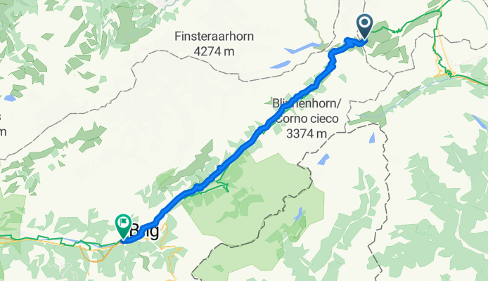
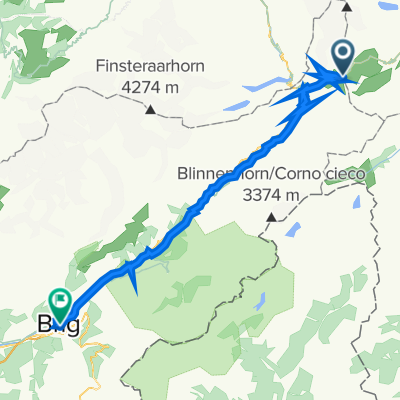
2014-T09-Furkapass-Brig
Cycling route in Andermatt, Canton of Uri, Switzerland
- 61.8 km
- Distance
- 86 m
- Ascent
- 1,850 m
- Descent
Bahnhofstrasse 4, Andermatt nach Sebastiansgasse 6, Brig
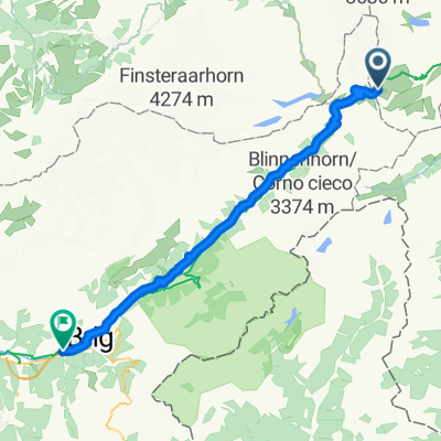
Cycling route in Andermatt, Canton of Uri, Switzerland
- 75.1 km
- Distance
- 1,356 m
- Ascent
- 2,110 m
- Descent

Bahnhofstrasse 4, Andermatt nach Sebastiansgasse 6, Brig
Cycling route in Andermatt, Canton of Uri, Switzerland
- 75.1 km
- Distance
- 1,356 m
- Ascent
- 2,110 m
- Descent
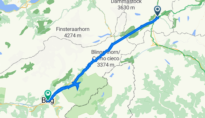
Andermatt - Brig
Cycling route in Andermatt, Canton of Uri, Switzerland
- 79.4 km
- Distance
- 1,054 m
- Ascent
- 1,815 m
- Descent

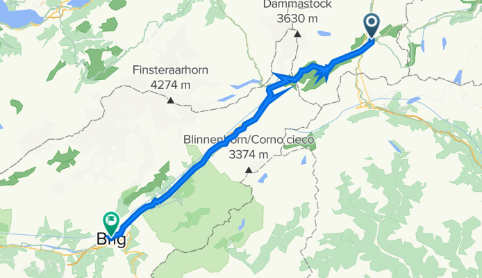
Furkapass or Oberwald to Brig
Cycling route in Andermatt, Canton of Uri, Switzerland
- 59.7 km
- Distance
- 433 m
- Ascent
- 2,189 m
- Descent
Andermatt - Sustenpass - Grimselpass - Furkapass - Gotthardpass - Nufenenpass - Brig
Cycling route in Andermatt, Canton of Uri, Switzerland
- 213.5 km
- Distance
- 5,111 m
- Ascent
- 5,858 m
- Descent
Furka Pass to Brig
Cycling route in Andermatt, Canton of Uri, Switzerland
- 59.7 km
- Distance
- 438 m
- Ascent
- 2,861 m
- Descent
1 Hospental - Brig - 1 Hospental - Brig
Cycling route in Andermatt, Canton of Uri, Switzerland
- 86.1 km
- Distance
- 2,633 m
- Ascent
- 3,443 m
- Descent
Gotthardstrasse 36, Hospental to Sebastiansplatz 4, Brig
Cycling route in Andermatt, Canton of Uri, Switzerland
- 67.1 km
- Distance
- 704 m
- Ascent
- 1,508 m
- Descent

T09-Furkapass-Brig
Cycling route in Andermatt, Canton of Uri, Switzerland
- 61.8 km
- Distance
- 86 m
- Ascent
- 1,850 m
- Descent

Andermatt - Brig
Cycling route in Andermatt, Canton of Uri, Switzerland
- 140.4 km
- Distance
- 2,983 m
- Ascent
- 3,753 m
- Descent

2014-T09-Furkapass-Brig
Cycling route in Andermatt, Canton of Uri, Switzerland
- 61.8 km
- Distance
- 86 m
- Ascent
- 1,850 m
- Descent
Discover more routes
 Furkapass or Oberwald to Brig
- Distance
- 59.7 km
- Ascent
- 433 m
- Descent
- 2,189 m
- Location
- Andermatt, Canton of Uri, Switzerland
 Andermatt - Sustenpass - Grimselpass - Furkapass - Gotthardpass - Nufenenpass - Brig
- Distance
- 213.5 km
- Ascent
- 5,111 m
- Descent
- 5,858 m
- Location
- Andermatt, Canton of Uri, Switzerland
 Furka Pass to Brig
- Distance
- 59.7 km
- Ascent
- 438 m
- Descent
- 2,861 m
- Location
- Andermatt, Canton of Uri, Switzerland
 1 Hospental - Brig - 1 Hospental - Brig
- Distance
- 86.1 km
- Ascent
- 2,633 m
- Descent
- 3,443 m
- Location
- Andermatt, Canton of Uri, Switzerland
 Gotthardstrasse 36, Hospental to Sebastiansplatz 4, Brig
- Distance
- 67.1 km
- Ascent
- 704 m
- Descent
- 1,508 m
- Location
- Andermatt, Canton of Uri, Switzerland
 T09-Furkapass-Brig
- Distance
- 61.8 km
- Ascent
- 86 m
- Descent
- 1,850 m
- Location
- Andermatt, Canton of Uri, Switzerland
 Andermatt - Brig
- Distance
- 140.4 km
- Ascent
- 2,983 m
- Descent
- 3,753 m
- Location
- Andermatt, Canton of Uri, Switzerland
 2014-T09-Furkapass-Brig
- Distance
- 61.8 km
- Ascent
- 86 m
- Descent
- 1,850 m
- Location
- Andermatt, Canton of Uri, Switzerland
Routes from Andermatt
Bikepacking from
Andermatt to Meiringen
Cycling day trip from
Andermatt to Ilanz
Cycling day trip from
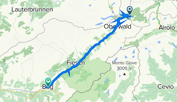
Andermatt to Fiesch