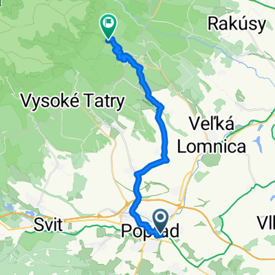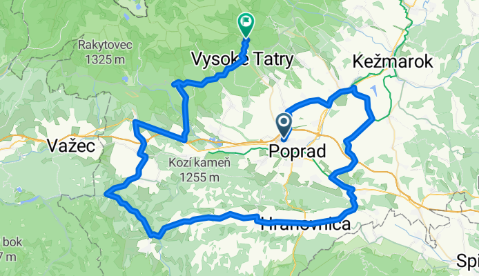


Poprad - Huncovce - V.Lomnica - Tatr.Lomnica
- 22.3 km
- 379 m
- 190 m
- Poprad, Prešov Region, Slovakia

Customize your own route based on our template or discover how our community prefers to cycle from Poprad to Vysoké Tatry.
Route template

Get ready for a rewarding ride from Poprad to Vysoké Tatry! Starting in Poprad, the gateway town known for beautiful historical squares and its close proximity to the High Tatras, you'll pedal roughly 17.4 kilometers mostly on smooth asphalt and paved surfaces. As you ride out of town, you'll gradually ascend—expect about 323 meters of climbing, so there's a steady workout ahead, but the stunning mountain views will distract you.
The route flows through a mix of quiet roads and country tracks, keeping traffic minimal and the atmosphere peaceful. Don’t be surprised if you spend part of the journey on paths that feel like you have the Tatras all to yourself!
Your destination, Vysoké Tatry, isn’t just a mountain resort area—it’s the heart of Slovakia’s famous High Tatras National Park. Here, you can celebrate with some pierogi, or simply take in the spectacular peaks around you. Ideal for intermediate riders looking for both challenge and scenery, this route is a classic introduction to one of Slovakia’s most picturesque regions.
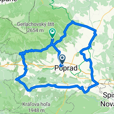
Community
From our community
Cycling route in Poprad, Prešov Region, Slovakia
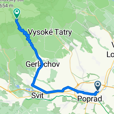
Cycling route in Poprad, Prešov Region, Slovakia
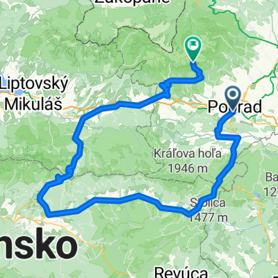
Cycling route in Poprad, Prešov Region, Slovakia
Cycling route in Poprad, Prešov Region, Slovakia
Cycling route in Poprad, Prešov Region, Slovakia
Cycling route in Poprad, Prešov Region, Slovakia
Cycling route in Poprad, Prešov Region, Slovakia
Cycling route in Poprad, Prešov Region, Slovakia
Cycling route in Poprad, Prešov Region, Slovakia
Cycling day trip from
Cycling day trip from
By bicycle from
Cycling day trip from
Cycling day trip from
By bicycle from