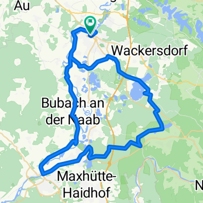
Einfürungstour / Sa 30.06.2012
- 31.9 km
- 230 m
- 230 m
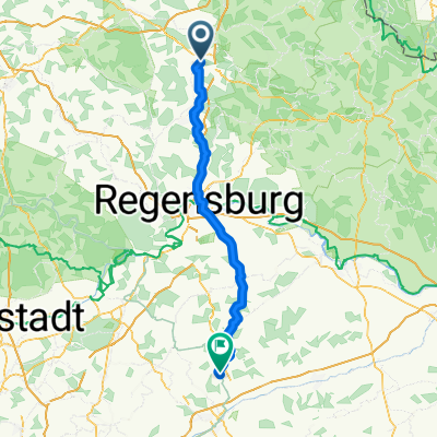
- Schwandorf in Bayern, Bavaria, Germany
A cycling route starting in Schwandorf in Bayern, Bavaria, Germany.
Overview
The route comes from a tour suggestion by the Mittelbayerische Zeitung. The start and end point have been relocated, and the route between Büchelkühn and Dachelhofen has been corrected.
The start and end point of the route is the northern end of the bridge in Ettmannsdorf at the intersection with Wöhrangerstraße.
The route is especially suitable as a quick after-work round. It can be ridden counterclockwise. When ridden clockwise, the climbs are a bit more challenging.
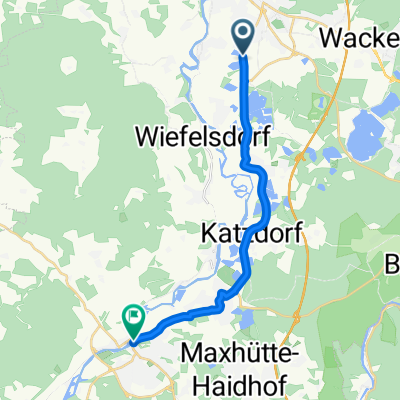
Points of interest: the parish church in Wiefelsdorf with the historic rectory. Also the 'Gögglbacher Stein', a hollow way carved into the sandstone rocks.
created this 14 years ago
Route highlights
Zum "Gögglbacher Stein": Von hier ca. 350 m der Wanderwegmarkierung "Rotes Quadrat auf weißem Grund" nach Westen folgen.
Continue with Bikemap
You would like to ride Rund um Naabeck or customize it for your own trip? Here is what you can do with this Bikemap route:
Free trial for 3 days, or one-time payment. More about Bikemap Premium.
Discover more Premium features.
Get Bikemap PremiumFrom our community
Open it in the app