Bärenbachtal
- 17.5 km
- 277 m
- 274 m
- Olbernhau, Saxony, Germany
A cycling route starting in Olbernhau, Saxony, Germany.
Overview
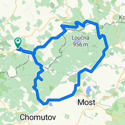
A nearly 100 km long tour through four valleys. From Olbernhau along the Flöha - past the Rauschenbach and Flajet dams to the source area of Flöha, Mulde, and Weißeritz near Loucna (956 m above sea level). From there along the Freiberger Mulde over Rechenberg to Mulda. Up the Chemnitzbach valley to Sayda. Along the Biela back to Olbernhau.
created this 17 years ago
Route quality
Road
24.7 km
26 %
Quiet road
6.6 km
7 %
Paved
72.2 km
(76 %)
Unpaved
1.9 km
(2 %)
Asphalt
66.5 km
70 %
Paved (undefined)
5.7 km
6 %
Continue with Bikemap
You would like to ride Flöha-, Mulden-, Chemnitzbach- & Bielatal or customize it for your own trip? Here is what you can do with this Bikemap route:
Free trial for 3 days, or one-time payment. More about Bikemap Premium.
Discover more Premium features.
Get Bikemap PremiumFrom our community
Open it in the app