Carpathian Peaks. Route 1.
A cycling route starting in Tatariv, Ivano-Frankivsk Oblast, Ukraine.
Overview
About this route
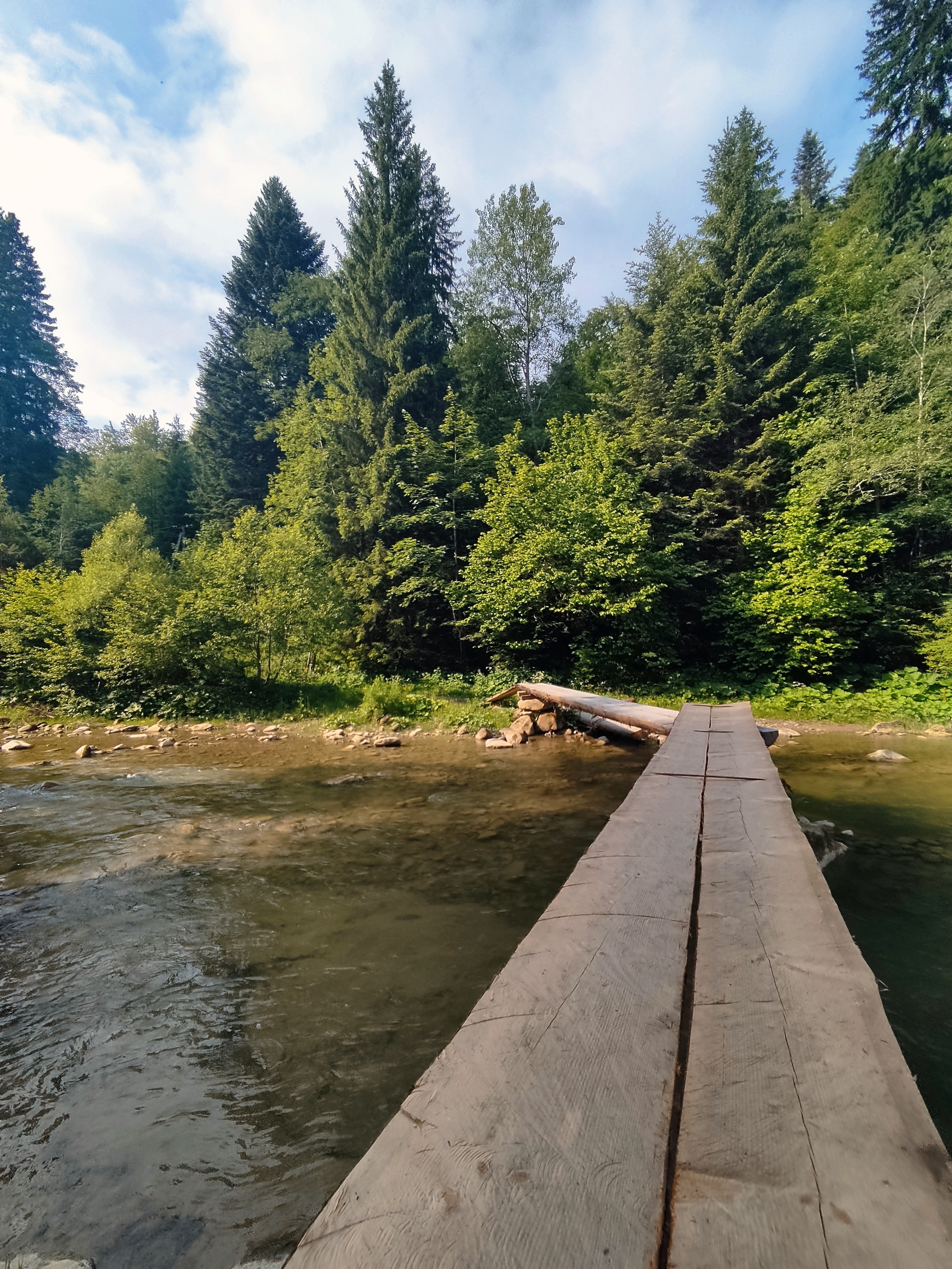
<span style="mso-fareast-font-family: "Times New Roman"; mso-bidi-font-family: "Times New Roman"; color: black; mso-ansi-language: EN-US; mso-fareast-language: RU;" lang="EN-US">The most interesting place in Yaremche is the 8m-high waterfall “Probii” with a footbridge over the river Prut above it. On one side of the bridge there is a souvenir market with the masterpieces of the hutsulian handicraft. From the outskirts of the village it is easy to get to the rocks of Oleksa Dovbush (huge rocks and stones reminding the mysterious creatures) along the path that bears his name. </span>
- -:--
- Duration
- 26.4 km
- Distance
- 368 m
- Ascent
- 369 m
- Descent
- ---
- Avg. speed
- ---
- Max. altitude
Route highlights
Points of interest along the route

Point of interest after 9.1 km
Probii waterfall - the 8m-high waterfall with a footbridge over the river Prut above it/

Point of interest after 12.1 km
Girls' tears waterfall

Point of interest after 18.3 km
Rocks of Dovbush. Group of rocks and cliffs up to 20m. With these rocks associated name of the head of peasant rebels-Oleksa Dovbush, who, according to popular legend, was hiding here for a while.
Continue with Bikemap
Use, edit, or download this cycling route
You would like to ride Carpathian Peaks. Route 1. or customize it for your own trip? Here is what you can do with this Bikemap route:
Free features
- Save this route as favorite or in collections
- Copy & plan your own version of this route
- Sync your route with Garmin or Wahoo
Premium features
Free trial for 3 days, or one-time payment. More about Bikemap Premium.
- Navigate this route on iOS & Android
- Export a GPX / KML file of this route
- Create your custom printout (try it for free)
- Download this route for offline navigation
Discover more Premium features.
Get Bikemap PremiumFrom our community
Other popular routes starting in Tatariv
Татарів-Буковель-Рахів- Distance
- 68.5 km
- Ascent
- 508 m
- Descent
- 749 m
- Location
- Tatariv, Ivano-Frankivsk Oblast, Ukraine
Татарів - Микуличин - Космач - Шепіт - Білоберізка- Distance
- 86.2 km
- Ascent
- 1,640 m
- Descent
- 1,869 m
- Location
- Tatariv, Ivano-Frankivsk Oblast, Ukraine
Микуличин-Манява- Distance
- 57.9 km
- Ascent
- 1,675 m
- Descent
- 1,762 m
- Location
- Tatariv, Ivano-Frankivsk Oblast, Ukraine
Сarpathian peaks. Route 2.- Distance
- 60.1 km
- Ascent
- 621 m
- Descent
- 621 m
- Location
- Tatariv, Ivano-Frankivsk Oblast, Ukraine
Carpathian Peaks. Route 1.- Distance
- 26.4 km
- Ascent
- 368 m
- Descent
- 369 m
- Location
- Tatariv, Ivano-Frankivsk Oblast, Ukraine
Микуличин-Явірник-Яремче- Distance
- 19.5 km
- Ascent
- 958 m
- Descent
- 1,031 m
- Location
- Tatariv, Ivano-Frankivsk Oblast, Ukraine
Пшк 2012-08-18 Микулич-Космач 40км- Distance
- 39.8 km
- Ascent
- 1,067 m
- Descent
- 1,040 m
- Location
- Tatariv, Ivano-Frankivsk Oblast, Ukraine
Татарів - Буковель - Бистриця - Надвірна- Distance
- 74.3 km
- Ascent
- 1,339 m
- Descent
- 1,590 m
- Location
- Tatariv, Ivano-Frankivsk Oblast, Ukraine
Open it in the app


