

Carpathian peaks. Mt.Lisniv - Mykulychyn
A cycling route starting in Tatariv, Ivano-Frankivsk Oblast, Ukraine.
Overview
About this route
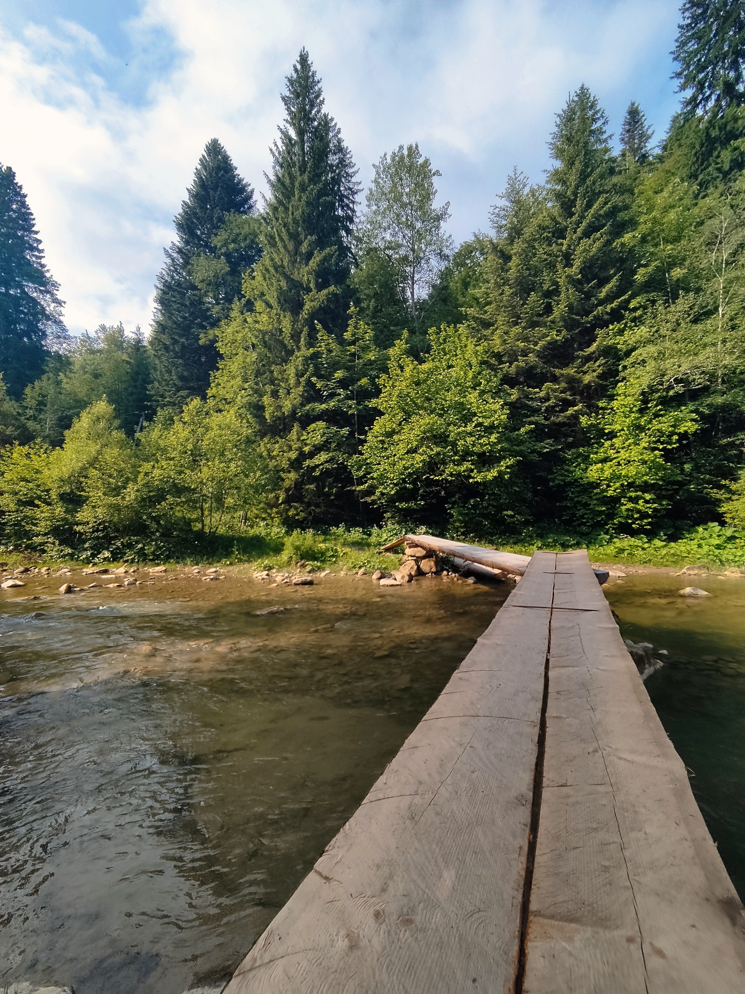
<span style="font-size: 11.0pt; line-height: 115%; font-family: "Calibri","sans-serif"; mso-ascii-theme-font: minor-latin; mso-fareast-font-family: "Times New Roman"; mso-hansi-theme-font: minor-latin; mso-bidi-font-family: "Times New Roman"; color: black; mso-ansi-language: EN-US; mso-fareast-language: RU; mso-bidi-language: AR-SA;" lang="EN-US">Riding on the picturesque ridge through Chorny pohar, Syholka, Horda mountains to Chymyrytsia mountain where the oilfields are situated.</span>
- -:--
- Duration
- 41.7 km
- Distance
- 855 m
- Ascent
- 1,501 m
- Descent
- ---
- Avg. speed
- ---
- Max. altitude

Route highlights
Points of interest along the route
Point of interest after 3.9 km
Chorny Pohar mountain. Alt.1247 m
Point of interest after 8.1 km
Syholka mountain. Alt. 1290 m
Point of interest after 11.7 km
Horda mountain. Alt.1479 m
Point of interest after 28.8 km
Chemyrytsia mountain. Alt. 1027 m
Continue with Bikemap
Use, edit, or download this cycling route
You would like to ride Carpathian peaks. Mt.Lisniv - Mykulychyn or customize it for your own trip? Here is what you can do with this Bikemap route:
Free features
- Save this route as favorite or in collections
- Copy & plan your own version of this route
- Sync your route with Garmin or Wahoo
Premium features
Free trial for 3 days, or one-time payment. More about Bikemap Premium.
- Navigate this route on iOS & Android
- Export a GPX / KML file of this route
- Create your custom printout (try it for free)
- Download this route for offline navigation
Discover more Premium features.
Get Bikemap PremiumFrom our community
Other popular routes starting in Tatariv
 Татарів - Микуличин - Космач - Шепіт - Білоберізка
- Distance
- 86.2 km
- Ascent
- 1,640 m
- Descent
- 1,869 m
- Location
- Tatariv, Ivano-Frankivsk Oblast, Ukraine
 Khomiak by bike
- Distance
- 38.6 km
- Ascent
- 1,778 m
- Descent
- 1,944 m
- Location
- Tatariv, Ivano-Frankivsk Oblast, Ukraine
 Микуличин-Явірник-Яремче
- Distance
- 19.5 km
- Ascent
- 958 m
- Descent
- 1,031 m
- Location
- Tatariv, Ivano-Frankivsk Oblast, Ukraine
 Carpathian peaks. Mt.Lisniv - Mykulychyn
- Distance
- 41.7 km
- Ascent
- 855 m
- Descent
- 1,501 m
- Location
- Tatariv, Ivano-Frankivsk Oblast, Ukraine
 Сarpathian peaks. Route 2.
- Distance
- 60.1 km
- Ascent
- 621 m
- Descent
- 621 m
- Location
- Tatariv, Ivano-Frankivsk Oblast, Ukraine
 Mykulychyn- Yaremcha
- Distance
- 64 km
- Ascent
- 1,522 m
- Descent
- 1,571 m
- Location
- Tatariv, Ivano-Frankivsk Oblast, Ukraine
 Микуличин-Манява
- Distance
- 57.9 km
- Ascent
- 1,675 m
- Descent
- 1,762 m
- Location
- Tatariv, Ivano-Frankivsk Oblast, Ukraine
 Пшк 2012-08-18 Микулич-Космач 40км
- Distance
- 39.8 km
- Ascent
- 1,067 m
- Descent
- 1,040 m
- Location
- Tatariv, Ivano-Frankivsk Oblast, Ukraine
Open it in the app