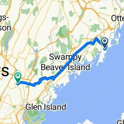
Playland Parkway 100, Rye to George Washington Bridge, Fort Lee
- 33.6 km
- 487 m
- 453 m
- Rye, New York, United States
A cycling route starting in Rye, New York, United States.
Overview
This was our first day of touring since early 2020, just before the pandemic lockdown started.
The ECG, was surprisingly good, despite the heavily populated area that it goes through. And once getting out of the Norwalk area, the WNE Greenway was excellent as well. Especially nice were the long sections along New Town Turnpike and Redding Road. There was either little traffic or, especially along Redding Road, a nice road shoulder when traffic was heavier. All of this route was paved with the exception of a mile or two on the New Town Turnpike, which was hardpack and easy to ride on despite it’s being wet from all the rain.
What could have been better about both the ECG and the WNE Greenway is signage. At least the ECG had some signage, though it was too little and what there was was often difficult to find. Maybe it’s just my eyes, but when looking the ECG signage in Connecticut, it was often hard to figure out which direction the arrow was pointing in. As for the WNE Greenway signage, it was completely lacking. As a practical matter, both of these Greenways have sufficient turns and such that they can only be easily followed if one using a GPS device (such as a smart phone).
created this 4 years ago
Route quality
Quiet road
16 km
20 %
Road
14.4 km
18 %
Paved
22.3 km
(28 %)
Asphalt
21.5 km
27 %
Paved (undefined)
0.8 km
1 %
Undefined
57.5 km
72 %
Continue with Bikemap
You would like to ride Rye NY to Danbury CT or customize it for your own trip? Here is what you can do with this Bikemap route:
Free trial for 3 days, or one-time payment. More about Bikemap Premium.
Discover more Premium features.
Get Bikemap PremiumFrom our community
Open it in the app