Bobrow janowice
- 19.4 km
- 212 m
- 212 m
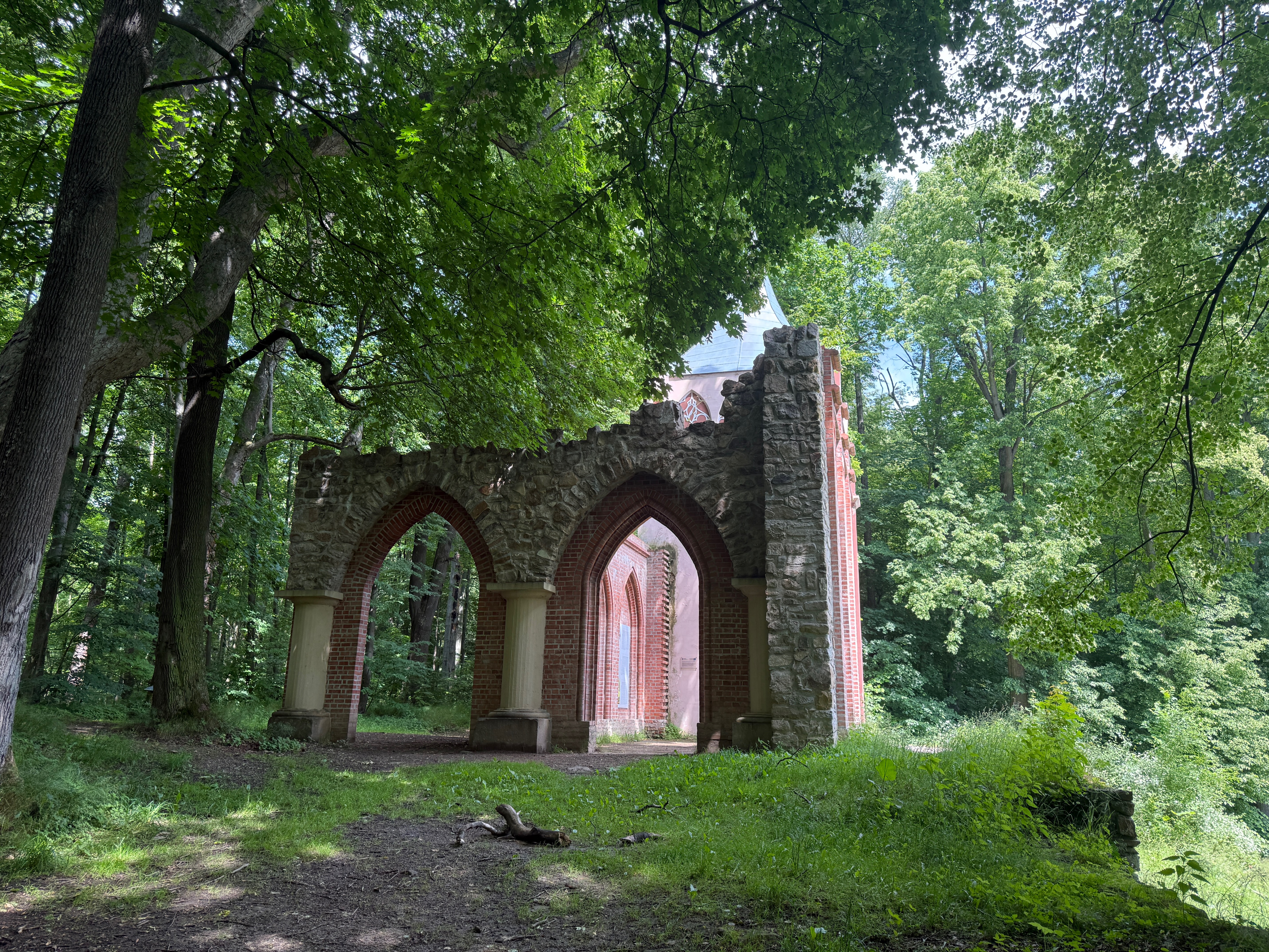
- Mysłakowice, Lower Silesian Voivodeship, Poland
A cycling route starting in Mysłakowice, Lower Silesian Voivodeship, Poland.
Overview
created this 3 years ago
Route quality
Quiet road
6 km
(26 %)
Path
5.7 km
(25 %)
Paved
14 km
(61 %)
Unpaved
2.8 km
(12 %)
Asphalt
12.2 km
(53 %)
Paved (undefined)
1.8 km
(8 %)
Continue with Bikemap
You would like to ride Wojanów 9, Mysłakowice do Łomnica, Mysłakowice or customize it for your own trip? Here is what you can do with this Bikemap route:
Free trial for 3 days, or one-time payment. More about Bikemap Premium.
Discover more Premium features.
Get Bikemap PremiumFrom our community
Open it in the app