

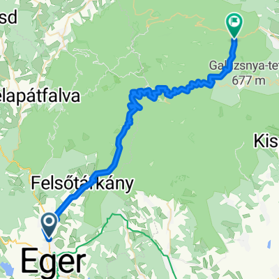
Eger-Berva-Bükk-Felsőtárkány-Eger
A cycling route starting in Eger, Heves County, Hungary.
Overview
About this route
- 3 h 5 min
- Duration
- 43.5 km
- Distance
- 663 m
- Ascent
- 670 m
- Descent
- 14.1 km/h
- Avg. speed
- 496 m
- Max. altitude

Route photos


Continue with Bikemap
Use, edit, or download this cycling route
You would like to ride Eger-Berva-Bükk-Felsőtárkány-Eger or customize it for your own trip? Here is what you can do with this Bikemap route:
Free features
- Save this route as favorite or in collections
- Copy & plan your own version of this route
- Sync your route with Garmin or Wahoo
Premium features
Free trial for 3 days, or one-time payment. More about Bikemap Premium.
- Navigate this route on iOS & Android
- Export a GPX / KML file of this route
- Create your custom printout (try it for free)
- Download this route for offline navigation
Discover more Premium features.
Get Bikemap PremiumFrom our community
Other popular routes starting in Eger
 Eger - Erzsébet sétány
- Distance
- 46.8 km
- Ascent
- 734 m
- Descent
- 643 m
- Location
- Eger, Heves County, Hungary
 Kerékpár maraton - 8. nap
- Distance
- 70.9 km
- Ascent
- 721 m
- Descent
- 770 m
- Location
- Eger, Heves County, Hungary
 Egerbike - Eger Warm Up Tour 2.
- Distance
- 14.7 km
- Ascent
- 95 m
- Descent
- 96 m
- Location
- Eger, Heves County, Hungary
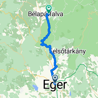 Eger - szarvaskő- Bélapátfalva
- Distance
- 24.6 km
- Ascent
- 637 m
- Descent
- 470 m
- Location
- Eger, Heves County, Hungary
 Hajdúhegyi kritérium pálya
- Distance
- 4.5 km
- Ascent
- 69 m
- Descent
- 74 m
- Location
- Eger, Heves County, Hungary
 Eger-Berva-Bükk-Felsőtárkány-Eger
- Distance
- 43.5 km
- Ascent
- 663 m
- Descent
- 670 m
- Location
- Eger, Heves County, Hungary
 My ride 1
- Distance
- 26 km
- Ascent
- 505 m
- Descent
- 522 m
- Location
- Eger, Heves County, Hungary
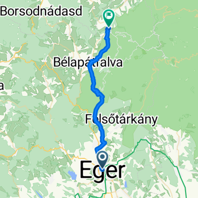 Történelmi Belváros, Eger - Fenyves utca, Szilvásvárad
- Distance
- 30 km
- Ascent
- 776 m
- Descent
- 596 m
- Location
- Eger, Heves County, Hungary
Open it in the app