![[Itinéraire] VTT n°15 - Sainte-Croix-En-Jarez - Difficulté bleu](https://media.bikemap.net/routes/10329776/staticmaps/in_fe344952-da3d-4748-af3c-719ca8113056_400x400_bikemap-2021-3D-static.png)
[Itinéraire] VTT n°15 - Sainte-Croix-En-Jarez - Difficulté bleu
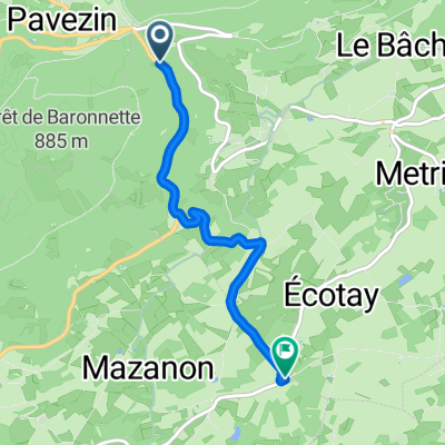
- 10.8 km
- 350 m
- 353 m
- Pélussin, Auvergne-Rhône-Alpes, France
A cycling route starting in Pélussin, Auvergne-Rhône-Alpes, France.
Overview
created this 3 years ago
Route quality
Quiet road
7.7 km
(45 %)
Track
4.1 km
(24 %)
Paved
2.7 km
(16 %)
Asphalt
2.1 km
(12 %)
Paved (undefined)
0.5 km
(3 %)
Route highlights
LUNCH; L'Escalie
Continue with Bikemap
You would like to ride Mt Pilat - Roisey - Lupe: 2022 or customize it for your own trip? Here is what you can do with this Bikemap route:
Free trial for 3 days, or one-time payment. More about Bikemap Premium.
Discover more Premium features.
Get Bikemap PremiumFrom our community
Open it in the app
![[Itinéraire] VTT n°11 - Les Balcons du Rhône - Difficulté rouge (VTTAE bleu)](https://media.bikemap.net/routes/10425652/staticmaps/in_1003bcc7-c837-47fe-ac7c-e35d8a562694_400x400_bikemap-2021-3D-static.png)