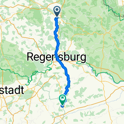
Kallmünz übers Vilstal
- 57.9 km
- 340 m
- 343 m
- Schwandorf in Bayern, Bavaria, Germany
A cycling route starting in Schwandorf in Bayern, Bavaria, Germany.
Overview
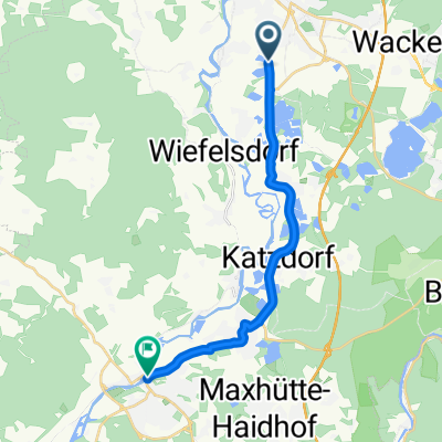
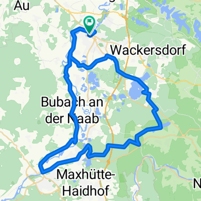
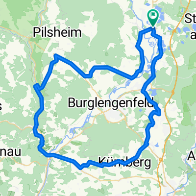
A short loop for the lunch break or after work. The starting and ending point is the intersection of Wöhrangerstraße and Ettmannsdorfer Straße, just west of the Naabbrücke. The route goes counterclockwise towards the Jura heights west of Naabeck. Up to Hartenricht, the route is identical to the route "Around Naabeck". In Hartenricht, instead of turning left (south), you go straight (west) up a gravel forest path. Over a distance of about 1.4 km, the path gains an elevation of about 80 m. At the top, the path then runs slightly undulating through the eastern part of the Witzlarner Forest, mostly along the route of the Old High Road, an ancient trade route. Such so-called "old roads" avoided, wherever possible, the swampy lowlands and followed the ridges. Our Old High Road likely ran through Pistlwies and Stocka to Premberg, an old customs station at a ford over the Naab. That concludes this brief historical excursion. You will find important information about the route at the marking points. If you get thirsty along the way, you can stop at the Plank brewery restaurant in Wiefelsdorf (shady beer garden). It is only 370 m from our route. From the parking lot near the church, there is another nice view into the Naab Valley towards Büchelkühn and Schwandorf.
created this 14 years ago
Route quality
Track
9.5 km
(49 %)
Quiet road
5.6 km
(29 %)
Paved
5.2 km
(27 %)
Unpaved
7.8 km
(40 %)
Gravel
5.6 km
(29 %)
Asphalt
5.2 km
(27 %)
Route highlights
Achtung Kartenfehler! Etwa 0,7 km nach Verlassen der Asphaltstraße gabelt sich der Weg. Unsere Route führt hier nach links. Geradeaus führt nur ein kaum befahrener Naturweg.
T-Abzweig nach rechts verlassen! Die linke Möglichkeit führt ins Nichts.
Schlechte Wegstrecke auf ca. 500 m Länge! Vor allem nach länger andauerndem Regen.
Brauereigaststätte Plank mit schattigem Biergarten. Zum Ausschank kommen die Biere der Brauerei Naabeck sowie das bekannte Jura-Weizen. Prost!
Continue with Bikemap
You would like to ride Zur Alten Hochstraße or customize it for your own trip? Here is what you can do with this Bikemap route:
Free trial for 3 days, or one-time payment. More about Bikemap Premium.
Discover more Premium features.
Get Bikemap PremiumFrom our community
Open it in the app