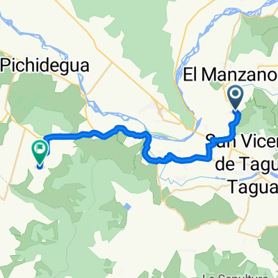
sn vicente hasta laguna sn vicente..
- 24 km
- 92 m
- 92 m
- San Vicente, O'Higgins Region, Chile
A cycling route starting in San Vicente, O'Higgins Region, Chile.
Overview
created this 3 years ago


Route quality
Cycleway
6.1 km
(95 %)
Undefined
0.3 km
(5 %)
Paved
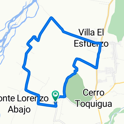
6.4 km
(100 %)
Asphalt
6.1 km
(95 %)
Paved (undefined)
0.3 km
(4 %)
Concrete
0.1 km
(1 %)
Continue with Bikemap
You would like to ride Ruta H-774, Peumo a Walker Martínez, Peumo or customize it for your own trip? Here is what you can do with this Bikemap route:
Free trial for 3 days, or one-time payment. More about Bikemap Premium.
Discover more Premium features.
Get Bikemap PremiumFrom our community
Open it in the app