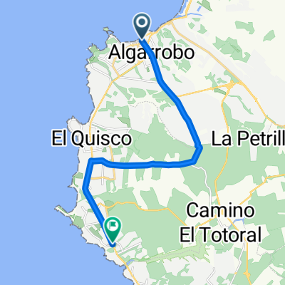
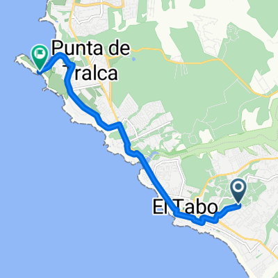
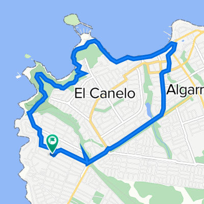
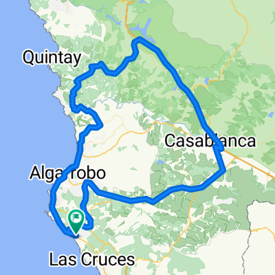
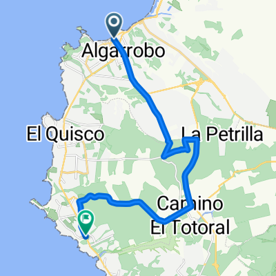
De Bellavista 1385, San Antonio a Bellavista 1385, San Antonio
A cycling route starting in El Tabo, Regi贸n de Valpara铆so, Chile.
Overview
About this route
- 1 h 8 min
- Duration
- 8.5 km
- Distance
- 126 m
- Ascent
- 122 m
- Descent
- 7.4 km/h
- Avg. speed
- 59 m
- Avg. speed
Route photos
Route quality
Waytypes & surfaces along the route
Waytypes
Undefined
8.5 km
(100 %)
Surfaces
Undefined
8.5 km
(100 %)
Continue with Bikemap
Use, edit, or download this cycling route
You would like to ride De Bellavista 1385, San Antonio a Bellavista 1385, San Antonio or customize it for your own trip? Here is what you can do with this Bikemap route:
Free features
- Save this route as favorite or in collections
- Copy & plan your own version of this route
- Sync your route with Garmin or Wahoo
Premium features
Free trial for 3 days, or one-time payment. More about Bikemap Premium.
- Navigate this route on iOS & Android
- Export a GPX / KML file of this route
- Create your custom printout (try it for free)
- Download this route for offline navigation
Discover more Premium features.
Get Bikemap PremiumFrom our community
Other popular routes starting in El Tabo
- Conociendo Punta de Tralca
- Distance
- 20 km
- Ascent
- 241 m
- Descent
- 258 m
- Location
- El Tabo, Regi贸n de Valpara铆so, Chile
- Algarrobo, ruta inversa
- Distance
- 9.4 km
- Ascent
- 137 m
- Descent
- 163 m
- Location
- El Tabo, Regi贸n de Valpara铆so, Chile
- Bosque Mar hasta Tunquen
- Distance
- 19.3 km
- Ascent
- 419 m
- Descent
- 342 m
- Location
- El Tabo, Regi贸n de Valpara铆so, Chile
- tunquen fundo pao pao
- Distance
- 30.1 km
- Ascent
- 468 m
- Descent
- 674 m
- Location
- El Tabo, Regi贸n de Valpara铆so, Chile
- De Jos茅 Narciso Aguirre 0308, El Quisco a Regidor Jorge Squella Avenda帽o 270, El Quisco
- Distance
- 16.1 km
- Ascent
- 134 m
- Descent
- 139 m
- Location
- El Tabo, Regi贸n de Valpara铆so, Chile
- Avenida Ignacio Carrera Pinto 44, Algarrobo a Avenida Ignacio Carrera Pinto 4380, El Quisco
- Distance
- 10.6 km
- Ascent
- 196 m
- Descent
- 222 m
- Location
- El Tabo, Regi贸n de Valpara铆so, Chile
- Pedaleo santo, Las Cruces a Cartagena
- Distance
- 16 km
- Ascent
- 207 m
- Descent
- 212 m
- Location
- El Tabo, Regi贸n de Valpara铆so, Chile
- Casabalnca a Algarrobo - Camino a Las Dichas
- Distance
- 22.3 km
- Ascent
- 345 m
- Descent
- 210 m
- Location
- El Tabo, Regi贸n de Valpara铆so, Chile