

Avenida Ignacio Carrera Pinto 44, Algarrobo a Avenida Ignacio Carrera Pinto 4380, El Quisco
A cycling route starting in El Tabo, Región de Valparaíso, Chile.
Overview
About this route
- 1 h 9 min
- Duration
- 10.6 km
- Distance
- 196 m
- Ascent
- 222 m
- Descent
- 9.3 km/h
- Avg. speed
- 63 m
- Max. altitude
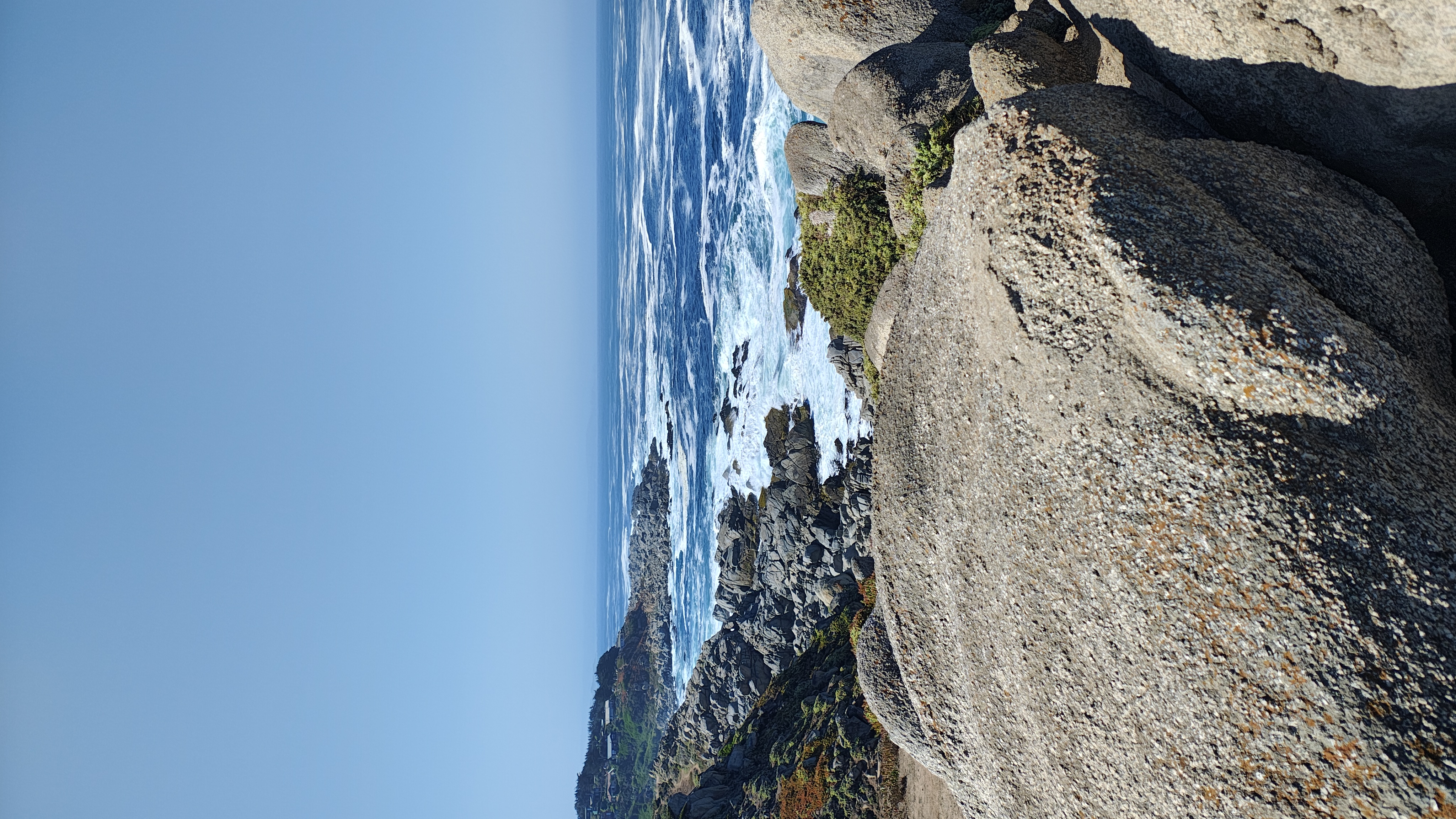
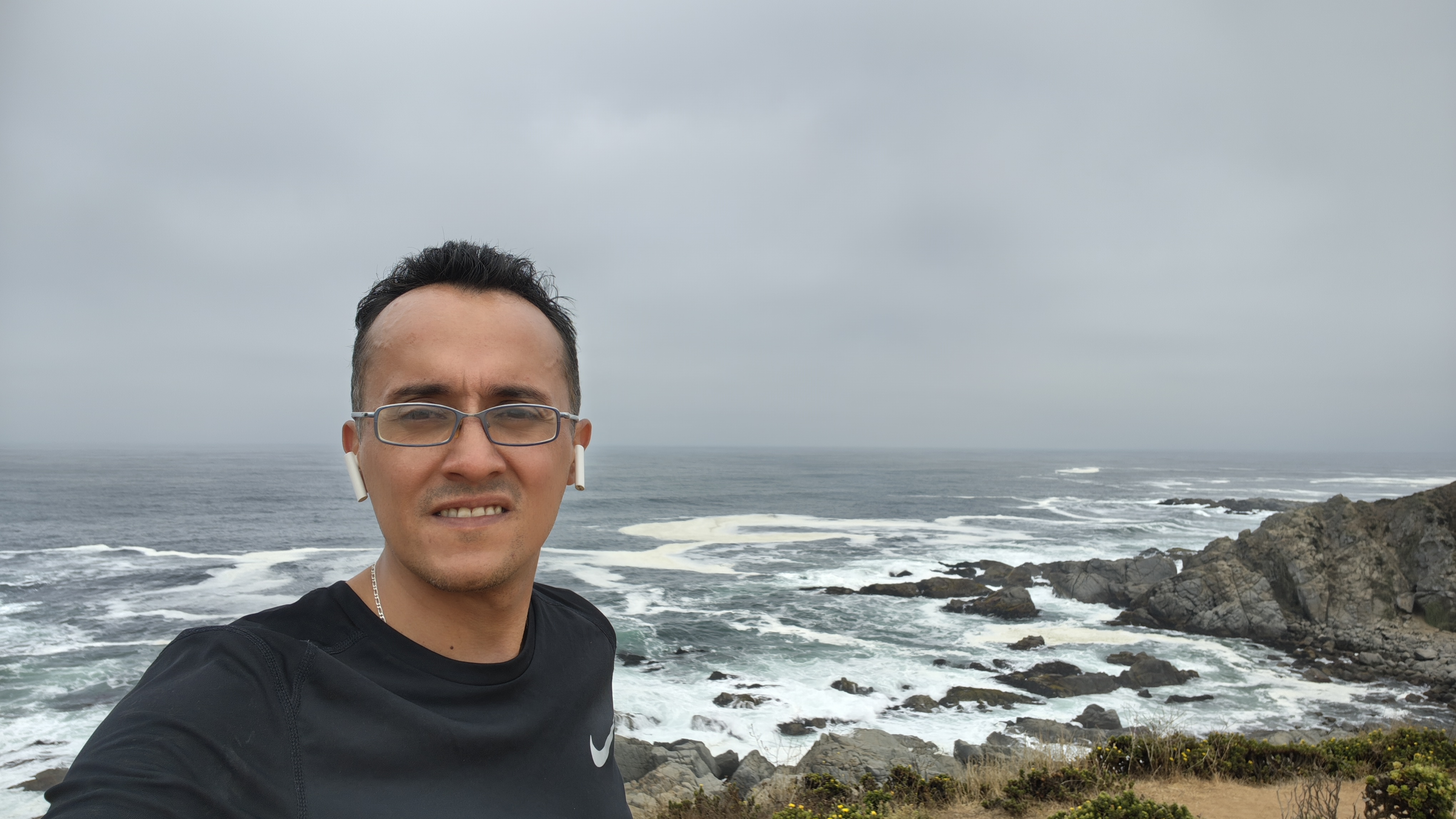
Route photos


Route quality
Waytypes & surfaces along the route
Waytypes
Quiet road
2.1 km
(20 %)
Pedestrian area
1.3 km
(12 %)
Surfaces
Paved
7.8 km
(73 %)
Unpaved
1 km
(9 %)
Paved (undefined)
7 km
(66 %)
Unpaved (undefined)
1 km
(9 %)
Continue with Bikemap
Use, edit, or download this cycling route
You would like to ride Avenida Ignacio Carrera Pinto 44, Algarrobo a Avenida Ignacio Carrera Pinto 4380, El Quisco or customize it for your own trip? Here is what you can do with this Bikemap route:
Free features
- Save this route as favorite or in collections
- Copy & plan your own version of this route
- Sync your route with Garmin or Wahoo
Premium features
Free trial for 3 days, or one-time payment. More about Bikemap Premium.
- Navigate this route on iOS & Android
- Export a GPX / KML file of this route
- Create your custom printout (try it for free)
- Download this route for offline navigation
Discover more Premium features.
Get Bikemap PremiumFrom our community
Other popular routes starting in El Tabo
 Avenida Ignacio Carrera Pinto 44, Algarrobo a Avenida Ignacio Carrera Pinto 4380, El Quisco
- Distance
- 10.6 km
- Ascent
- 196 m
- Descent
- 222 m
- Location
- El Tabo, Región de Valparaíso, Chile
 De José Narciso Aguirre 0308, El Quisco a Regidor Jorge Squella Avendaño 270, El Quisco
- Distance
- 16.1 km
- Ascent
- 134 m
- Descent
- 139 m
- Location
- El Tabo, Región de Valparaíso, Chile
 Conociendo Punta de Tralca
- Distance
- 20 km
- Ascent
- 241 m
- Descent
- 258 m
- Location
- El Tabo, Región de Valparaíso, Chile
 tunquen estero casa blanca
- Distance
- 40.1 km
- Ascent
- 616 m
- Descent
- 624 m
- Location
- El Tabo, Región de Valparaíso, Chile
 Algarrobo, ruta inversa
- Distance
- 9.4 km
- Ascent
- 137 m
- Descent
- 163 m
- Location
- El Tabo, Región de Valparaíso, Chile
 Pedaleo santo, Las Cruces a Cartagena
- Distance
- 16 km
- Ascent
- 207 m
- Descent
- 212 m
- Location
- El Tabo, Región de Valparaíso, Chile
 De Bellavista 1385, San Antonio a Bellavista 1385, San Antonio
- Distance
- 8.5 km
- Ascent
- 126 m
- Descent
- 122 m
- Location
- El Tabo, Región de Valparaíso, Chile
 Casabalnca a Algarrobo - Camino a Las Dichas
- Distance
- 22.3 km
- Ascent
- 345 m
- Descent
- 210 m
- Location
- El Tabo, Región de Valparaíso, Chile
Open it in the app