Tour de Bourgogne 2
- 663 km
- 2,930 m
- 2,929 m
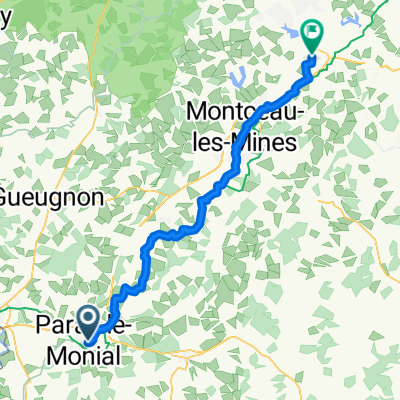
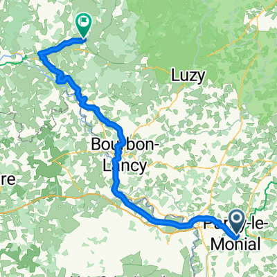
- Paray-le-Monial, Bourgogne-Franche-Comté, France
A cycling route starting in Paray-le-Monial, Bourgogne-Franche-Comté, France.
Overview
Discover the ancient Romanesque church of Nochize transformed into a community hall, as well as remarkable viewpoints. Starting from the tourist office, explore the Basilica of the Sacred Heart dating back to the 11th and 12th centuries. This masterpiece of Romanesque art in Burgundy is one of the finest examples of Cluniac architecture. Head to the southern district of the city and discover the former PLM city. These early collective housing units marked the history of the city in the 1930s. Walk along the woodlands of Aisances towards Versaugues via the D191. At Grand Selore, turn left to cross the woods of Tartins and Michon. Then join the Bourg de Nochize via Bronat, Martigny, and Busseuil. Formerly called Nochizia, this parish of the barony of Lugny is located 6 km from Paray-le-Monial. Its 12th-century church has been renovated into a community hall. It is adorned with a sundial dating back to 1571. Several features are noteworthy in the village: the Château de Chevenizet dating from the 13th century and its chapel; the Manor of Pancemont and its chapel, as well as the Valley of the Arconce for the delight of anglers. Return via Champ tout seul and Guichard to find the green path along the Canal du Centre. Opened between 1791 and 1793, the canal was constructed by Emiland Gauthey and connects the Loire to the Saône over 112 km.
created this 2 years ago
Route quality
Road
11.3 km
(36 %)
Quiet road
10.4 km
(33 %)
Paved
9.1 km
(29 %)
Unpaved
0.3 km
(1 %)
Asphalt
9.1 km
(29 %)
Gravel
0.3 km
(1 %)
Undefined
22 km
(70 %)
Continue with Bikemap
You would like to ride Paray-le-Monial : circuit n°11 - Vues sur la vallée de l'Arconce, Nochize or customize it for your own trip? Here is what you can do with this Bikemap route:
Free trial for 3 days, or one-time payment. More about Bikemap Premium.
Discover more Premium features.
Get Bikemap PremiumFrom our community
Open it in the app