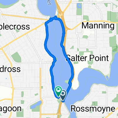
Bateman Kardinya Murdoch Ward, Bateman to 4 The Esplanade, Mount Pleasant
- 25.4 km
- 109 m
- 94 m
- Mount Pleasant, Western Australia, Australia
A cycling route starting in Mount Pleasant, Western Australia, Australia.
Overview
Mt Henry - Freeway - Farrington-Bibra- Hope- Yangebup- Electric bean - north to Farrington- Freeway back
created this 2 years ago
Route quality
Cycleway
15 km
45 %
Road
6 km
18 %
Paved
23.7 km
(71 %)
Asphalt
16.7 km
50 %
Paved (undefined)
4 km
12 %
Continue with Bikemap
You would like to ride Southern lakes v2 or customize it for your own trip? Here is what you can do with this Bikemap route:
Free trial for 3 days, or one-time payment. More about Bikemap Premium.
Discover more Premium features.
Get Bikemap PremiumFrom our community
Open it in the app