

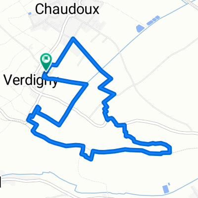
8 heures de Verdigny 2011
- 5.9 km
- 78 m
- 79 m
- Saint-Satur, Centre-Val de Loire, France
A cycling route starting in Saint-Satur, Centre-Val de Loire, France.
Overview
Course to be completed as many times as possible over 8 hours, in relay teams of 1 to 4!!
created this 14 years ago
Continue with Bikemap
You would like to ride 8 heures de Verdigny 2011 or customize it for your own trip? Here is what you can do with this Bikemap route:
Free trial for 3 days, or one-time payment. More about Bikemap Premium.
Discover more Premium features.
Get Bikemap PremiumFrom our community
Open it in the app


