Moriah’s Ascent (one way)
- 1 km
- 54 m
- 4 m
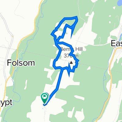
- Lyndonville, Vermont, United States
A cycling route starting in Lyndonville, Vermont, United States.
Overview
created this 2 years ago
Route quality
Road
36.5 km
(37 %)
Quiet road
23.7 km
(24 %)
Undefined
38.5 km
(39 %)
Paved
84.8 km
(86 %)
Unpaved
11.8 km
(12 %)
Asphalt
57.2 km
(58 %)
Paved (undefined)
27.6 km
(28 %)
Continue with Bikemap
You would like to ride the Wildflower Inn to Potton or customize it for your own trip? Here is what you can do with this Bikemap route:
Free trial for 3 days, or one-time payment. More about Bikemap Premium.
Discover more Premium features.
Get Bikemap PremiumFrom our community
Open it in the app