

P-GRAVEL-Biel-Hagneck-Aarberg-Lyss-Orpund (41 km)
A cycling route starting in Biel/Bienne, Canton of Bern, Switzerland.
Overview
About this route
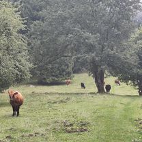
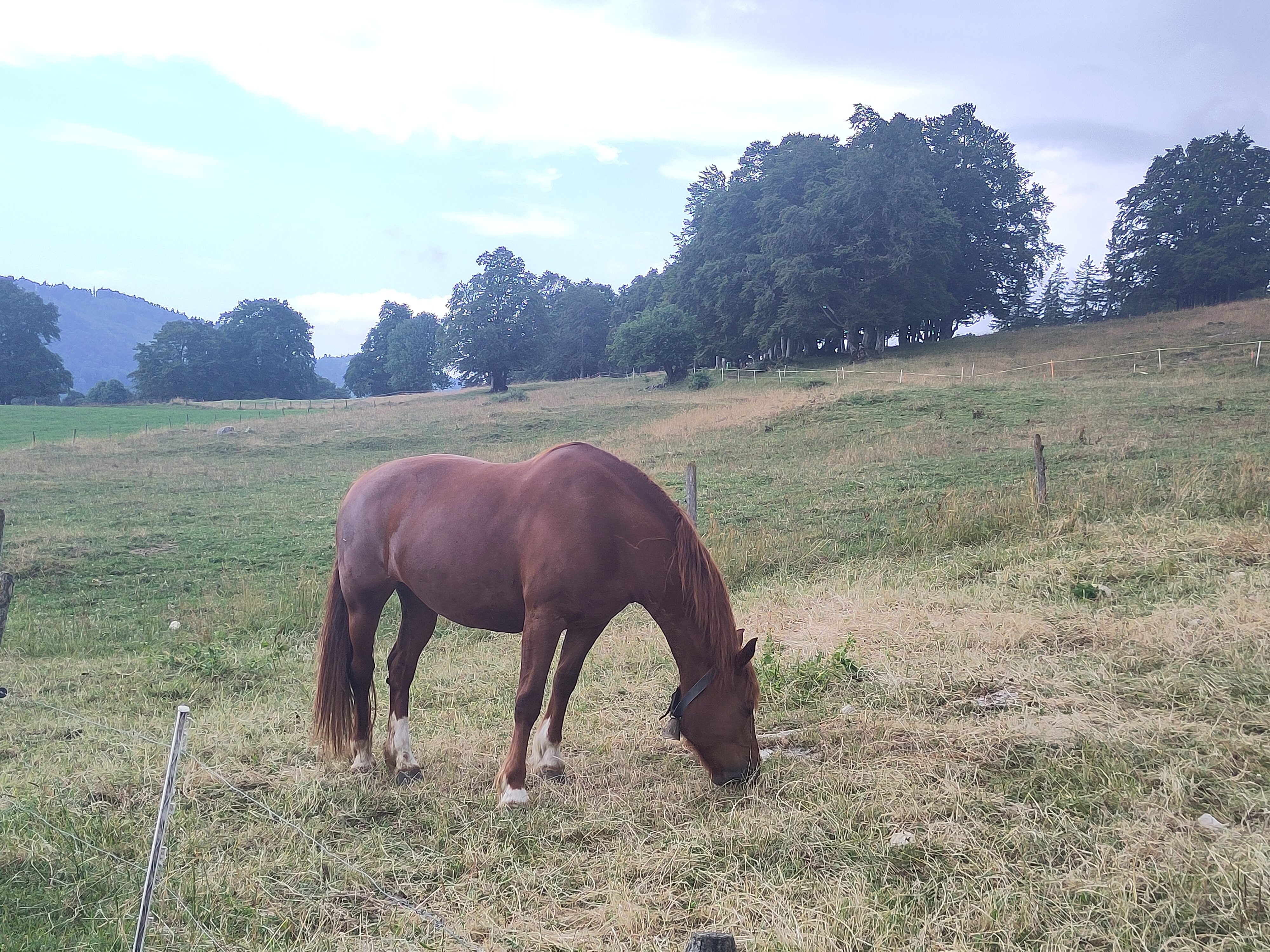
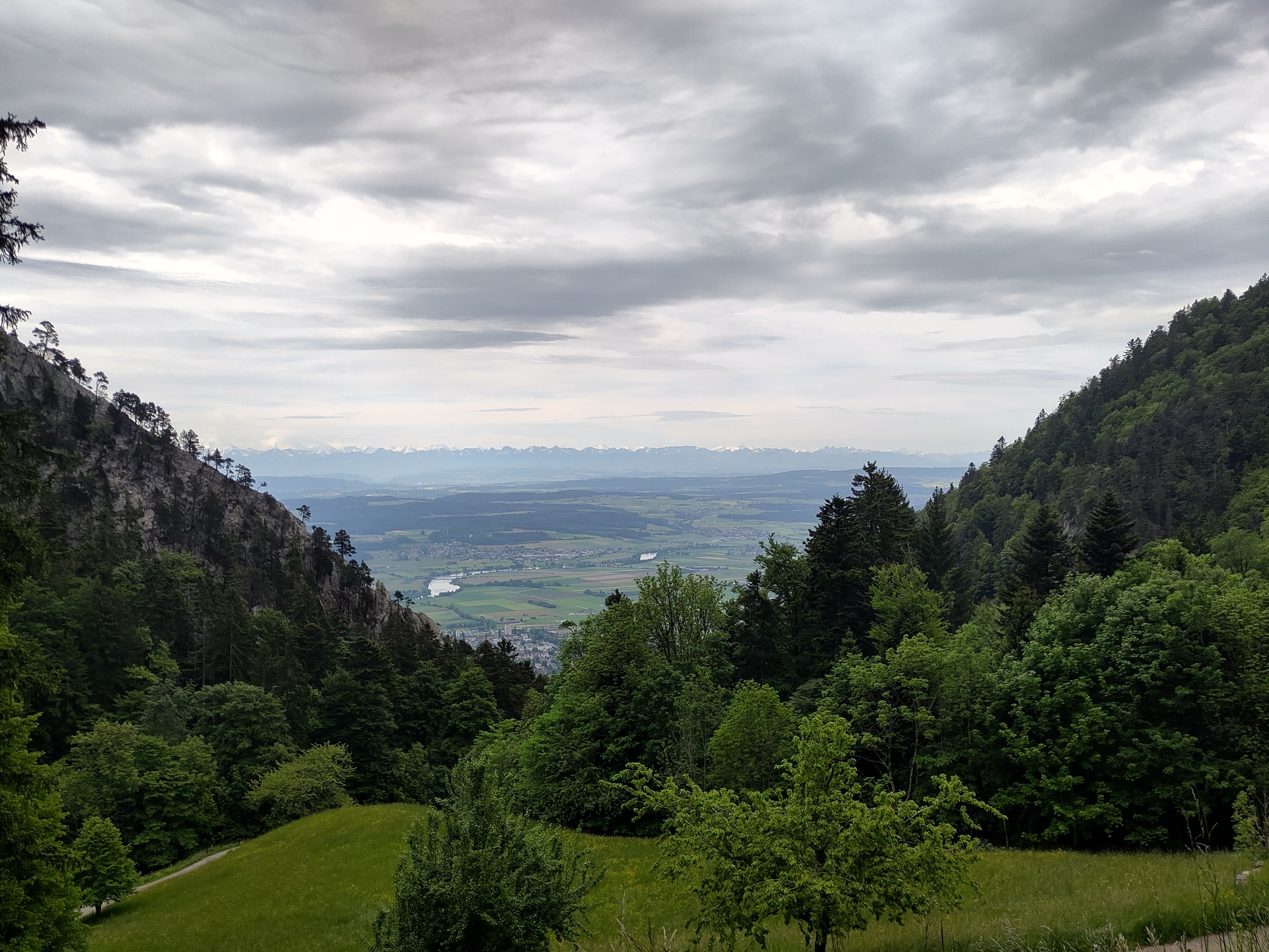
Very nice route (very easy gravel, probably 25% of the route). It can be done also with road bike, with 28mm tires.
- -:--
- Duration
- 41.1 km
- Distance
- 217 m
- Ascent
- 214 m
- Descent
- ---
- Avg. speed
- 473 m
- Max. altitude

Route quality
Waytypes & surfaces along the route
Waytypes
Quiet road
23.4 km
(57 %)
Track
10.7 km
(26 %)
Surfaces
Paved
25.1 km
(61 %)
Unpaved
10.3 km
(25 %)
Asphalt
21.8 km
(53 %)
Unpaved (undefined)
3.7 km
(9 %)
Continue with Bikemap
Use, edit, or download this cycling route
You would like to ride P-GRAVEL-Biel-Hagneck-Aarberg-Lyss-Orpund (41 km) or customize it for your own trip? Here is what you can do with this Bikemap route:
Free features
- Save this route as favorite or in collections
- Copy & plan your own version of this route
- Sync your route with Garmin or Wahoo
Premium features
Free trial for 3 days, or one-time payment. More about Bikemap Premium.
- Navigate this route on iOS & Android
- Export a GPX / KML file of this route
- Create your custom printout (try it for free)
- Download this route for offline navigation
Discover more Premium features.
Get Bikemap PremiumFrom our community
Other popular routes starting in Biel/Bienne
 P-BielerSee (62km)
- Distance
- 61.5 km
- Ascent
- 1,003 m
- Descent
- 1,002 m
- Location
- Biel/Bienne, Canton of Bern, Switzerland
 Bözingerbergschlaufe+
- Distance
- 41.9 km
- Ascent
- 1,162 m
- Descent
- 1,203 m
- Location
- Biel/Bienne, Canton of Bern, Switzerland
 P-BielerSee (85km)
- Distance
- 84.7 km
- Ascent
- 736 m
- Descent
- 734 m
- Location
- Biel/Bienne, Canton of Bern, Switzerland
 Zum Chasseral-Gletscher
- Distance
- 57.2 km
- Ascent
- 1,285 m
- Descent
- 1,329 m
- Location
- Biel/Bienne, Canton of Bern, Switzerland
 Theo's
- Distance
- 25.3 km
- Ascent
- 838 m
- Descent
- 832 m
- Location
- Biel/Bienne, Canton of Bern, Switzerland
 P-Biel/Lyss/Frienisberg (82km)
- Distance
- 83 km
- Ascent
- 1,119 m
- Descent
- 1,119 m
- Location
- Biel/Bienne, Canton of Bern, Switzerland
 P-Biel/Bienne TRACK2 (16km)
- Distance
- 15.5 km
- Ascent
- 242 m
- Descent
- 244 m
- Location
- Biel/Bienne, Canton of Bern, Switzerland
 Rund um den Bettlachstock
- Distance
- 43.3 km
- Ascent
- 1,011 m
- Descent
- 1,068 m
- Location
- Biel/Bienne, Canton of Bern, Switzerland
Open it in the app