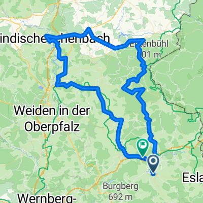
Moosbach-Silbersbach (Bayer. Wald)
A cycling route starting in Moosbach, Bavaria, Germany.
Overview
About this route
This route can be used as part of an 'Oberpfalz-Bayerwald-Tour'. We have already ridden this route several times. It is quite low-traffic and therefore good for cycling. The overall distance is moderately challenging - between Waldmünchen and Furth im Wald lies the Gelißenberg, a somewhat challenging climb, and then especially between Neukirchen Hl.Blut and Lam there is a very steep ascent to overcome. In the continuation of the route, the challenge increases for the trained cyclist with the Arber and other foothills.
- -:--
- Duration
- 84 km
- Distance
- 1,360 m
- Ascent
- 1,302 m
- Descent
- ---
- Avg. speed
- 812 m
- Max. altitude
Route quality
Waytypes & surfaces along the route
Waytypes
Road
21 km
(25 %)
Quiet road
7.6 km
(9 %)
Surfaces
Paved
52.9 km
(63 %)
Unpaved
3.4 km
(4 %)
Asphalt
52.1 km
(62 %)
Ground
1.7 km
(2 %)
Continue with Bikemap
Use, edit, or download this cycling route
You would like to ride Moosbach-Silbersbach (Bayer. Wald) or customize it for your own trip? Here is what you can do with this Bikemap route:
Free features
- Save this route as favorite or in collections
- Copy & plan your own version of this route
- Split it into stages to create a multi-day tour
- Sync your route with Garmin or Wahoo
Premium features
Free trial for 3 days, or one-time payment. More about Bikemap Premium.
- Navigate this route on iOS & Android
- Export a GPX / KML file of this route
- Create your custom printout (try it for free)
- Download this route for offline navigation
Discover more Premium features.
Get Bikemap PremiumFrom our community
Other popular routes starting in Moosbach
- Pentalon_Hausrunde
- Distance
- 47.1 km
- Ascent
- 681 m
- Descent
- 620 m
- Location
- Moosbach, Bavaria, Germany
- Vatertagsmarathon
- Distance
- 486.2 km
- Ascent
- 1,091 m
- Descent
- 1,327 m
- Location
- Moosbach, Bavaria, Germany
- pohodová ceta
- Distance
- 106.2 km
- Ascent
- 1,152 m
- Descent
- 1,129 m
- Location
- Moosbach, Bavaria, Germany
- Moosbach - Pleysten - Vohenstrauß - Moosbach
- Distance
- 34.5 km
- Ascent
- 455 m
- Descent
- 451 m
- Location
- Moosbach, Bavaria, Germany
- Moosbach-Fahrenberg-Georgenberg-Primda
- Distance
- 81.2 km
- Ascent
- 1,314 m
- Descent
- 1,275 m
- Location
- Moosbach, Bavaria, Germany
- Pentalon-Rundtour 1
- Distance
- 92.5 km
- Ascent
- 1,120 m
- Descent
- 1,021 m
- Location
- Moosbach, Bavaria, Germany
- Moosbach_3
- Distance
- 75 km
- Ascent
- 895 m
- Descent
- 683 m
- Location
- Moosbach, Bavaria, Germany
- Moosbach-Silbersbach (Bayer. Wald)
- Distance
- 84 km
- Ascent
- 1,360 m
- Descent
- 1,302 m
- Location
- Moosbach, Bavaria, Germany
Open it in the app