

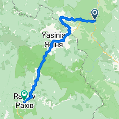
Татарів - Буковель - Бистриця - Надвірна
A cycling route starting in Tatariv, Ivano-Frankivsk Oblast, Ukraine.
Overview
About this route
- 5 h 9 min
- Duration
- 74.3 km
- Distance
- 1,339 m
- Ascent
- 1,590 m
- Descent
- 14.4 km/h
- Avg. speed
- 1,356 m
- Max. altitude

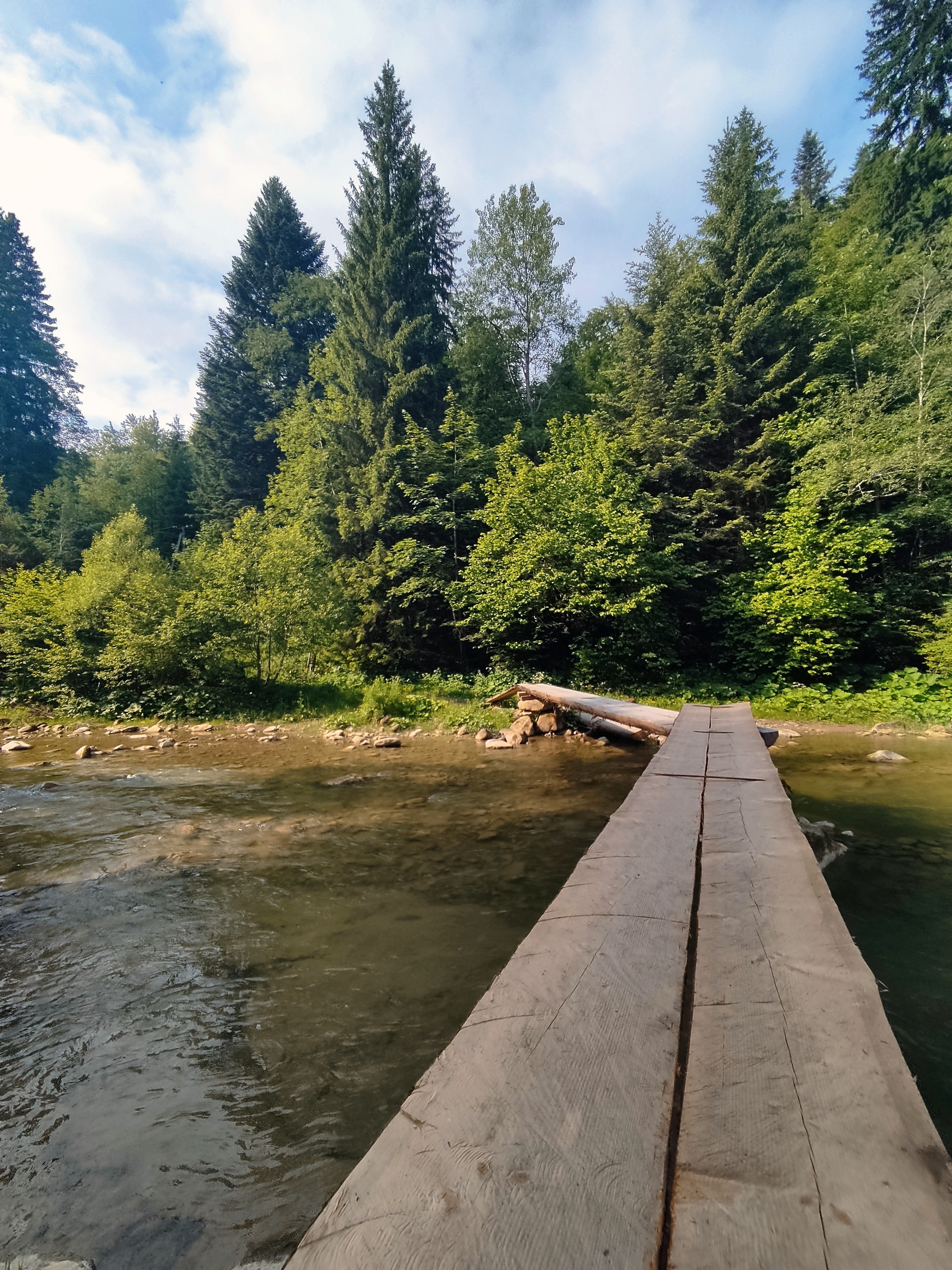
Route photos


Route quality
Waytypes & surfaces along the route
Waytypes
Road
43.1 km
(58 %)
Track
14.1 km
(19 %)
Surfaces
Paved
39.4 km
(53 %)
Unpaved
0.7 km
(1 %)
Asphalt
39.4 km
(53 %)
Unpaved (undefined)
0.7 km
(1 %)
Undefined
34.2 km
(46 %)
Continue with Bikemap
Use, edit, or download this cycling route
You would like to ride Татарів - Буковель - Бистриця - Надвірна or customize it for your own trip? Here is what you can do with this Bikemap route:
Free features
- Save this route as favorite or in collections
- Copy & plan your own version of this route
- Sync your route with Garmin or Wahoo
Premium features
Free trial for 3 days, or one-time payment. More about Bikemap Premium.
- Navigate this route on iOS & Android
- Export a GPX / KML file of this route
- Create your custom printout (try it for free)
- Download this route for offline navigation
Discover more Premium features.
Get Bikemap PremiumFrom our community
Other popular routes starting in Tatariv
 Татарів-Буковель-Рахів
- Distance
- 68.5 km
- Ascent
- 508 m
- Descent
- 749 m
- Location
- Tatariv, Ivano-Frankivsk Oblast, Ukraine
 Татарів - Микуличин - Космач - Шепіт - Білоберізка
- Distance
- 86.2 km
- Ascent
- 1,640 m
- Descent
- 1,869 m
- Location
- Tatariv, Ivano-Frankivsk Oblast, Ukraine
 Khomiak by bike
- Distance
- 38.6 km
- Ascent
- 1,778 m
- Descent
- 1,944 m
- Location
- Tatariv, Ivano-Frankivsk Oblast, Ukraine
 Микуличин-Явірник-Яремче
- Distance
- 19.5 km
- Ascent
- 958 m
- Descent
- 1,031 m
- Location
- Tatariv, Ivano-Frankivsk Oblast, Ukraine
 Сarpathian peaks. Route 2.
- Distance
- 60.1 km
- Ascent
- 621 m
- Descent
- 621 m
- Location
- Tatariv, Ivano-Frankivsk Oblast, Ukraine
 Mykulychyn- Yaremcha
- Distance
- 64 km
- Ascent
- 1,522 m
- Descent
- 1,571 m
- Location
- Tatariv, Ivano-Frankivsk Oblast, Ukraine
 Микуличин-Манява
- Distance
- 57.9 km
- Ascent
- 1,675 m
- Descent
- 1,762 m
- Location
- Tatariv, Ivano-Frankivsk Oblast, Ukraine
 Carpathian Peaks. Route 1.
- Distance
- 26.4 km
- Ascent
- 368 m
- Descent
- 369 m
- Location
- Tatariv, Ivano-Frankivsk Oblast, Ukraine
Open it in the app