

Algarrobo, ruta inversa
A cycling route starting in El Tabo, Región de Valparaíso, Chile.
Overview
About this route
- 47 min
- Duration
- 9.4 km
- Distance
- 137 m
- Ascent
- 163 m
- Descent
- 12 km/h
- Avg. speed
- 63 m
- Max. altitude
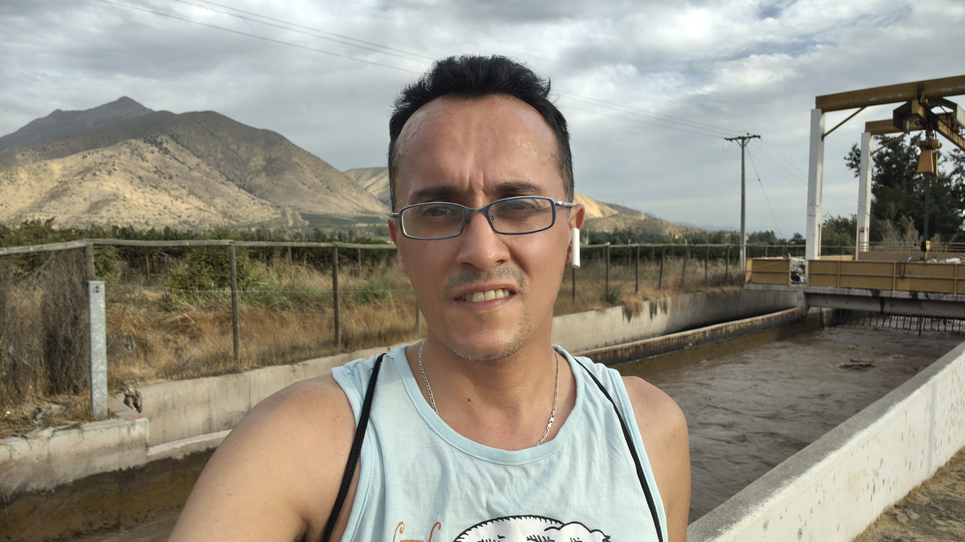
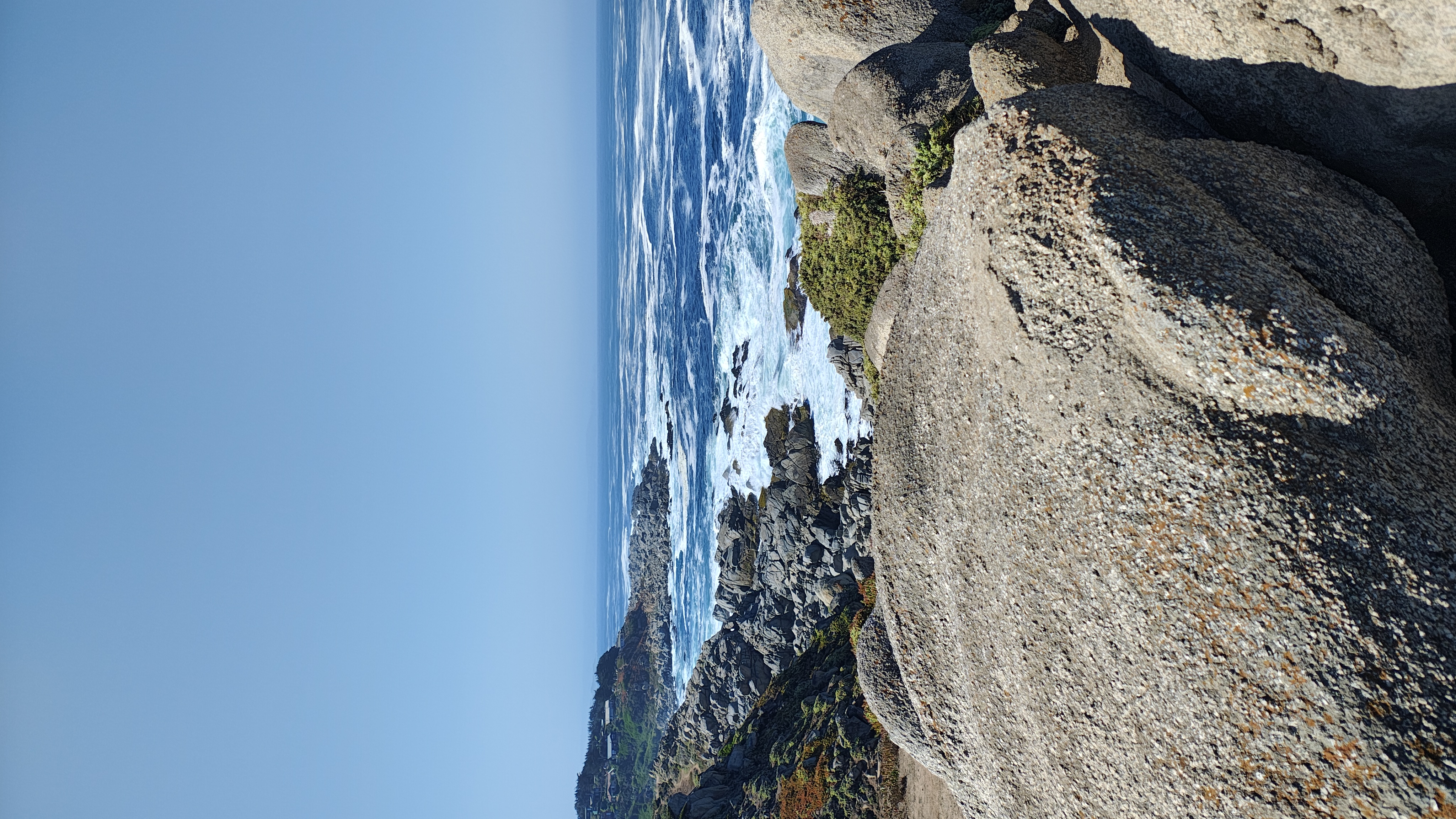
Route photos


Continue with Bikemap
Use, edit, or download this cycling route
You would like to ride Algarrobo, ruta inversa or customize it for your own trip? Here is what you can do with this Bikemap route:
Free features
- Save this route as favorite or in collections
- Copy & plan your own version of this route
- Sync your route with Garmin or Wahoo
Premium features
Free trial for 3 days, or one-time payment. More about Bikemap Premium.
- Navigate this route on iOS & Android
- Export a GPX / KML file of this route
- Create your custom printout (try it for free)
- Download this route for offline navigation
Discover more Premium features.
Get Bikemap PremiumFrom our community
Other popular routes starting in El Tabo
- Algarrobo, ruta inversa
- Distance
- 9.4 km
- Ascent
- 137 m
- Descent
- 163 m
- Location
- El Tabo, Región de Valparaíso, Chile
 De Bellavista 1385, San Antonio a Bellavista 1385, San Antonio
- Distance
- 8.5 km
- Ascent
- 126 m
- Descent
- 122 m
- Location
- El Tabo, Región de Valparaíso, Chile
 De José Narciso Aguirre 0308, El Quisco a Regidor Jorge Squella Avendaño 270, El Quisco
- Distance
- 16.1 km
- Ascent
- 134 m
- Descent
- 139 m
- Location
- El Tabo, Región de Valparaíso, Chile
 tunquen estero casa blanca
- Distance
- 40.1 km
- Ascent
- 616 m
- Descent
- 624 m
- Location
- El Tabo, Región de Valparaíso, Chile
 Isla Negra - Santiasko
- Distance
- 114.2 km
- Ascent
- 1,236 m
- Descent
- 743 m
- Location
- El Tabo, Región de Valparaíso, Chile
 Casabalnca a Algarrobo - Camino a Las Dichas
- Distance
- 22.3 km
- Ascent
- 345 m
- Descent
- 210 m
- Location
- El Tabo, Región de Valparaíso, Chile
 Avenida Ignacio Carrera Pinto 44, Algarrobo a Avenida Ignacio Carrera Pinto 4380, El Quisco
- Distance
- 10.6 km
- Ascent
- 196 m
- Descent
- 222 m
- Location
- El Tabo, Región de Valparaíso, Chile
 Conociendo Punta de Tralca
- Distance
- 20 km
- Ascent
- 241 m
- Descent
- 258 m
- Location
- El Tabo, Región de Valparaíso, Chile
Open it in the app