

Austin - Circle to North Via Camp Mabry, Bike Rt 23, and Shoal Creek Blvd
A cycling route starting in Rollingwood, Texas, United States.
Overview
About this route
This circle that took in Camp Mabry, Bike Rt 23, and Shoal Creek Blvd was excellent. The portion along the early section of Rt 23 and the parallel roads had some very steep ups and downs. Camp Mabry was pretty small, so there wasn't much riding within it. However, if one wants to park the bike and do some running, there's a really nice running track in the Camp.
As Burnet Road is a heavily trafficked road, though with a good bike lane, it would have been better to not use Burnet Road and just turn onto Shoal Creek Blvd earlier.
- 2 h 47 min
- Duration
- 39.5 km
- Distance
- 515 m
- Ascent
- 513 m
- Descent
- 14.1 km/h
- Avg. speed
- 278 m
- Max. altitude

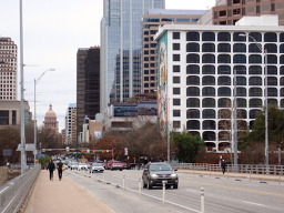
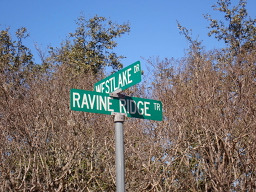
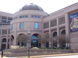
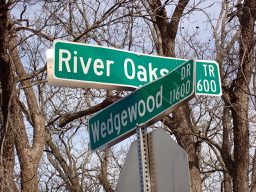
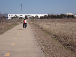
Route photos


Continue with Bikemap
Use, edit, or download this cycling route
You would like to ride Austin - Circle to North Via Camp Mabry, Bike Rt 23, and Shoal Creek Blvd or customize it for your own trip? Here is what you can do with this Bikemap route:
Free features
- Save this route as favorite or in collections
- Copy & plan your own version of this route
- Sync your route with Garmin or Wahoo
Premium features
Free trial for 3 days, or one-time payment. More about Bikemap Premium.
- Navigate this route on iOS & Android
- Export a GPX / KML file of this route
- Create your custom printout (try it for free)
- Download this route for offline navigation
Discover more Premium features.
Get Bikemap PremiumFrom our community
Other popular routes starting in Rollingwood
 Austin - Circle to McKinney Falls State Park
- Distance
- 40.3 km
- Ascent
- 360 m
- Descent
- 355 m
- Location
- Rollingwood, Texas, United States
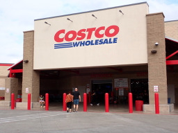 Austin - Circle to MT Supermarket and Costco
- Distance
- 50.5 km
- Ascent
- 428 m
- Descent
- 428 m
- Location
- Rollingwood, Texas, United States
 Buda loop - 37 mi
- Distance
- 60.2 km
- Ascent
- 212 m
- Descent
- 213 m
- Location
- Rollingwood, Texas, United States
- Austin - Circle to North Via Camp Mabry, Bike Rt 23, and Shoal Creek Blvd
- Distance
- 39.5 km
- Ascent
- 515 m
- Descent
- 513 m
- Location
- Rollingwood, Texas, United States
 Austin - Circle to Steiner Ranch
- Distance
- 56.1 km
- Ascent
- 757 m
- Descent
- 758 m
- Location
- Rollingwood, Texas, United States
 Austin - Circle to Northeast
- Distance
- 36.4 km
- Ascent
- 270 m
- Descent
- 276 m
- Location
- Rollingwood, Texas, United States
 Austin - Circle to MT Supermarket and Walnut Creek
- Distance
- 49.2 km
- Ascent
- 414 m
- Descent
- 413 m
- Location
- Rollingwood, Texas, United States
 Austin to Giddings
- Distance
- 113.7 km
- Ascent
- 492 m
- Descent
- 529 m
- Location
- Rollingwood, Texas, United States
Open it in the app