

Austin - Circle to McKinney Falls State Park
A cycling route starting in Rollingwood, Texas, United States.
Overview
About this route
Virtually all of this ride was on either neighborhood roods or arterial roads with good bike lanes.
I had originally planned to ride into McKinney Falls State Park, but with the $6 entry fee, I passed on entering the park and got no farther than the entry booth where one could pay the entry fee.
- 2 h 20 min
- Duration
- 40.3 km
- Distance
- 360 m
- Ascent
- 355 m
- Descent
- 17.2 km/h
- Avg. speed
- 210 m
- Max. altitude

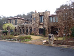
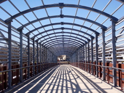
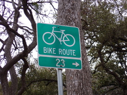
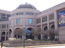
Route photos


Route quality
Waytypes & surfaces along the route
Waytypes
Busy road
11.9 km
(29 %)
Pedestrian area
7.2 km
(18 %)
Surfaces
Paved
24.3 km
(60 %)
Unpaved
0.1 km
(<1 %)
Asphalt
14.2 km
(35 %)
Paved (undefined)
5.4 km
(14 %)
Continue with Bikemap
Use, edit, or download this cycling route
You would like to ride Austin - Circle to McKinney Falls State Park or customize it for your own trip? Here is what you can do with this Bikemap route:
Free features
- Save this route as favorite or in collections
- Copy & plan your own version of this route
- Sync your route with Garmin or Wahoo
Premium features
Free trial for 3 days, or one-time payment. More about Bikemap Premium.
- Navigate this route on iOS & Android
- Export a GPX / KML file of this route
- Create your custom printout (try it for free)
- Download this route for offline navigation
Discover more Premium features.
Get Bikemap PremiumFrom our community
Other popular routes starting in Rollingwood
 Austin - Random Riding in Neighborhood North of MUNY Golf Course
- Distance
- 18.7 km
- Ascent
- 290 m
- Descent
- 290 m
- Location
- Rollingwood, Texas, United States
 Austin - Circle Southeast to Richard Moya Park
- Distance
- 47.2 km
- Ascent
- 288 m
- Descent
- 288 m
- Location
- Rollingwood, Texas, United States
 Austin - Circle to Bee Cave
- Distance
- 44.6 km
- Ascent
- 562 m
- Descent
- 564 m
- Location
- Rollingwood, Texas, United States
 Buda loop - 37 mi
- Distance
- 60.2 km
- Ascent
- 212 m
- Descent
- 213 m
- Location
- Rollingwood, Texas, United States
- Austin - Circle to McKinney Falls State Park
- Distance
- 40.3 km
- Ascent
- 360 m
- Descent
- 355 m
- Location
- Rollingwood, Texas, United States
 Austin - Circle to North Via Camp Mabry, Bike Rt 23, and Shoal Creek Blvd
- Distance
- 39.5 km
- Ascent
- 515 m
- Descent
- 513 m
- Location
- Rollingwood, Texas, United States
 Austin - Circle to Northeast
- Distance
- 36.4 km
- Ascent
- 270 m
- Descent
- 276 m
- Location
- Rollingwood, Texas, United States
 Austin - Circle to Steiner Ranch
- Distance
- 56.1 km
- Ascent
- 757 m
- Descent
- 758 m
- Location
- Rollingwood, Texas, United States
Open it in the app