

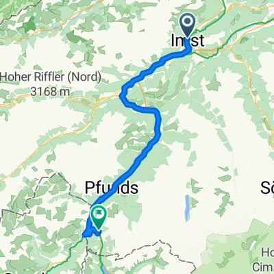
Route nach Pfunds
A cycling route starting in Imst, Tyrol, Austria.
Overview
About this route
- 3 h 21 min
- Duration
- 54.5 km
- Distance
- 1,247 m
- Ascent
- 1,095 m
- Descent
- 16.3 km/h
- Avg. speed
- 1,003 m
- Max. altitude

Route quality
Waytypes & surfaces along the route
Waytypes
Quiet road
24.5 km
(45 %)
Track
14.7 km
(27 %)
Surfaces
Paved
51.8 km
(95 %)
Unpaved
2.2 km
(4 %)
Asphalt
51.8 km
(95 %)
Gravel
1.6 km
(3 %)
Continue with Bikemap
Use, edit, or download this cycling route
You would like to ride Route nach Pfunds or customize it for your own trip? Here is what you can do with this Bikemap route:
Free features
- Save this route as favorite or in collections
- Copy & plan your own version of this route
- Sync your route with Garmin or Wahoo
Premium features
Free trial for 3 days, or one-time payment. More about Bikemap Premium.
- Navigate this route on iOS & Android
- Export a GPX / KML file of this route
- Create your custom printout (try it for free)
- Download this route for offline navigation
Discover more Premium features.
Get Bikemap PremiumFrom our community
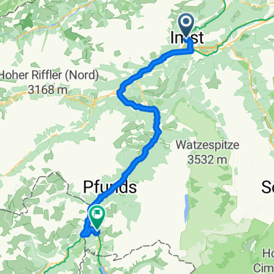
Other popular routes starting in Imst
 2014 Alpencross 3. Etappe Imst nach Nauders
- Distance
- 75.6 km
- Ascent
- 855 m
- Descent
- 309 m
- Location
- Imst, Tyrol, Austria
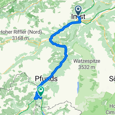
 Via Claudia Augusta 4. Imst - Cusio
- Distance
- 89.2 km
- Ascent
- 2,037 m
- Descent
- 1,916 m
- Location
- Imst, Tyrol, Austria
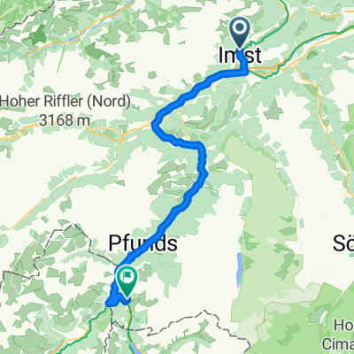
 Mittenwald - Schönberg im Stubaital
- Distance
- 73.3 km
- Ascent
- 2,177 m
- Descent
- 1,608 m
- Location
- Imst, Tyrol, Austria
 Pfarrgasse, Imst nach Nauders, Nauders
- Distance
- 73.4 km
- Ascent
- 2,162 m
- Descent
- 1,622 m
- Location
- Imst, Tyrol, Austria
 Ö_Imst-Höhenrunde Nr.1
- Distance
- 16.4 km
- Ascent
- 552 m
- Descent
- 565 m
- Location
- Imst, Tyrol, Austria
 Route nach Pfunds
- Distance
- 54.5 km
- Ascent
- 1,247 m
- Descent
- 1,095 m
- Location
- Imst, Tyrol, Austria
 3. Etappe Imst - Nauders
- Distance
- 73.7 km
- Ascent
- 2,216 m
- Descent
- 1,709 m
- Location
- Imst, Tyrol, Austria
 4.Etappe: Imst - Graun (Überquerung Reschenpass)
- Distance
- 84.3 km
- Ascent
- 1,148 m
- Descent
- 432 m
- Location
- Imst, Tyrol, Austria
Open it in the app