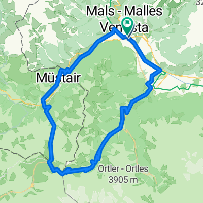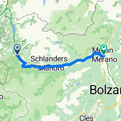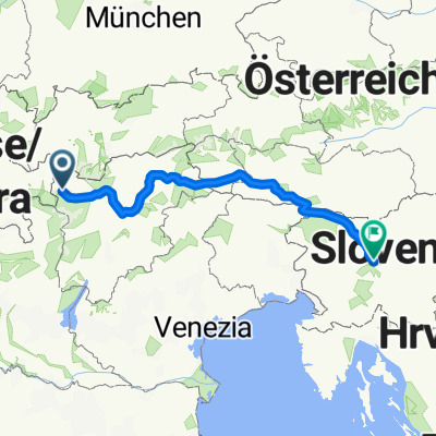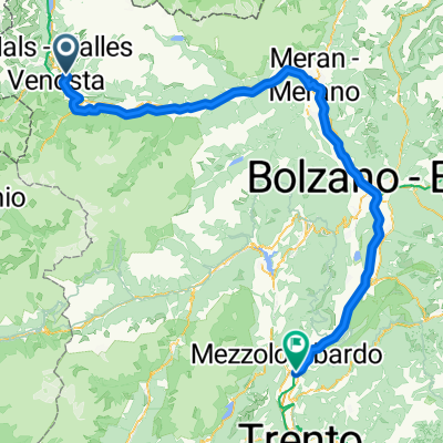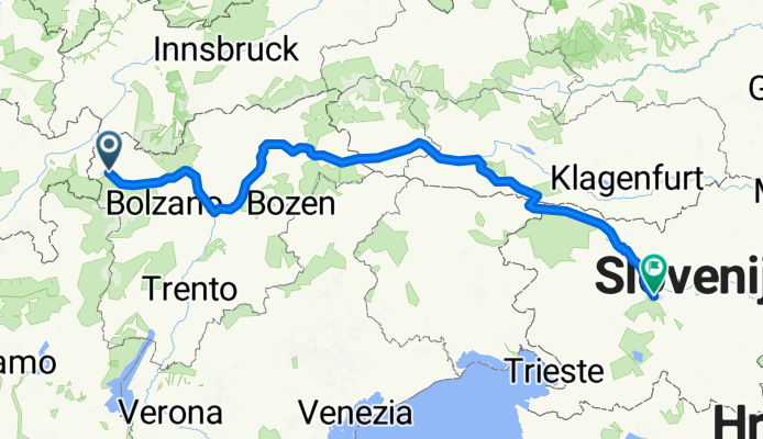


Preko tri drzave s autom
- 133.4 km
- 1,813 m
- 1,808 m
- Glurns, Trentino-Alto Adige, Italy
A cycling route starting in Glurns, Trentino-Alto Adige, Italy.
Overview
created this 5 months ago
Route quality
Cycleway
186.9 km
(41 %)
Quiet road
82.1 km
(18 %)
Paved
378.4 km
(83 %)
Unpaved
13.7 km
(3 %)
Asphalt
346.5 km
(76 %)
Paved (undefined)
31.9 km
(7 %)
Continue with Bikemap
You would like to ride restt or customize it for your own trip? Here is what you can do with this Bikemap route:
Free trial for 3 days, or one-time payment. More about Bikemap Premium.
Discover more Premium features.
Get Bikemap PremiumFrom our community
Open it in the app