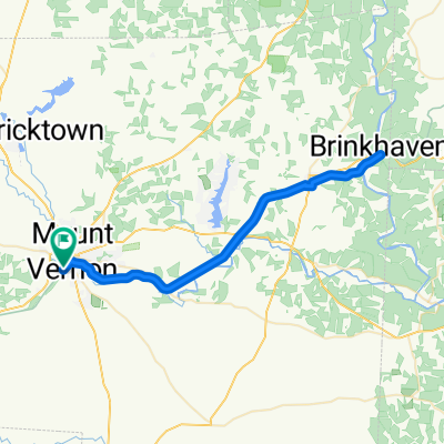
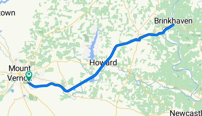
Kokosing Gap Trail, Mount Vernon to Lower Gambier Rd, Mount Vernon
A cycling route starting in Mount Vernon, Ohio, United States.
Overview
About this route
- 3 h 39 min
- Duration
- 57.7 km
- Distance
- 210 m
- Ascent
- 213 m
- Descent
- 15.8 km/h
- Avg. speed
- 313 m
- Max. altitude
Route photos
Route quality
Waytypes & surfaces along the route
Waytypes
Cycleway
51.7 km
(90 %)
Quiet road
5.3 km
(9 %)
Surfaces
Paved
20.1 km
(35 %)
Asphalt
20.1 km
(35 %)
Undefined
37.6 km
(65 %)
Continue with Bikemap
Use, edit, or download this cycling route
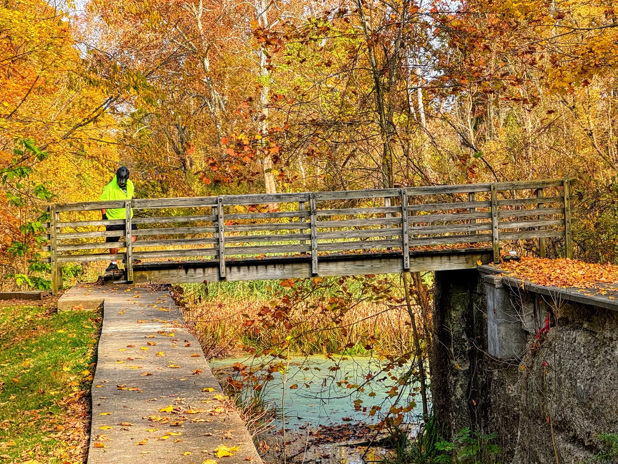
You would like to ride Kokosing Gap Trail, Mount Vernon to Lower Gambier Rd, Mount Vernon or customize it for your own trip? Here is what you can do with this Bikemap route:
Free features
- Save this route as favorite or in collections
- Copy & plan your own version of this route
- Sync your route with Garmin or Wahoo
Premium features
Free trial for 3 days, or one-time payment. More about Bikemap Premium.
- Navigate this route on iOS & Android
- Export a GPX / KML file of this route
- Create your custom printout (try it for free)
- Download this route for offline navigation
Discover more Premium features.
Get Bikemap PremiumFrom our community
Other popular routes starting in Mount Vernon
- Kokosing Gap Trail, Mount Vernon to Lower Gambier Rd, Mount Vernon
- Distance
- 57.7 km
- Ascent
- 210 m
- Descent
- 213 m
- Location
- Mount Vernon, Ohio, United States
- North of Mount Vernon loop
- Distance
- 72.9 km
- Ascent
- 490 m
- Descent
- 488 m
- Location
- Mount Vernon, Ohio, United States
- 400 Harcourt Rd, Mount Vernon to 941 Coshocton Ave, Mount Vernon
- Distance
- 29.1 km
- Ascent
- 378 m
- Descent
- 363 m
- Location
- Mount Vernon, Ohio, United States
- Mount Vernon Avenue Extension 500 to Lower Gambier Road 16057, Mount Vernon
- Distance
- 58.2 km
- Ascent
- 121 m
- Descent
- 90 m
- Location
- Mount Vernon, Ohio, United States
- Neil Ave, Mount Vernon to Neil Ave, Mount Vernon
- Distance
- 6.3 km
- Ascent
- 48 m
- Descent
- 49 m
- Location
- Mount Vernon, Ohio, United States
- Mt. Vernon to Howard
- Distance
- 34.2 km
- Ascent
- 104 m
- Descent
- 104 m
- Location
- Mount Vernon, Ohio, United States
- Neil Ave, Mount Vernon to Neil Ave, Mount Vernon
- Distance
- 53.3 km
- Ascent
- 277 m
- Descent
- 283 m
- Location
- Mount Vernon, Ohio, United States
- Southern Loop
- Distance
- 34.5 km
- Ascent
- 158 m
- Descent
- 162 m
- Location
- Mount Vernon, Ohio, United States
Open it in the app