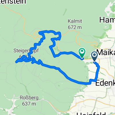
St. Martin Totenkopfhütte
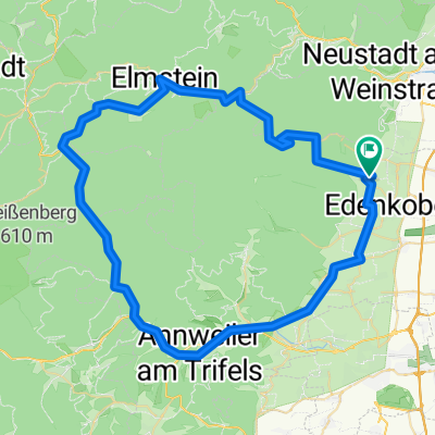
A cycling route starting in Sankt Martin, Rhineland-Palatinate, Germany.
Overview
About this route
- 1 h 52 min
- Duration
- 23.5 km
- Distance
- 1,108 m
- Ascent
- 1,047 m
- Descent
- 12.6 km/h
- Avg. speed
- 590 m
- Max. altitude
Route quality
Waytypes & surfaces along the route
Waytypes
Track
11 km
(47 %)
Quiet road
8.7 km
(37 %)
Surfaces
Paved
13.4 km
(57 %)
Unpaved
9.4 km
(40 %)
Asphalt
12.9 km
(55 %)
Gravel
7 km
(30 %)
Continue with Bikemap
Use, edit, or download this cycling route
You would like to ride St. Martin Totenkopfhütte or customize it for your own trip? Here is what you can do with this Bikemap route:
Free features
- Save this route as favorite or in collections
- Copy & plan your own version of this route
- Sync your route with Garmin or Wahoo
Premium features
Free trial for 3 days, or one-time payment. More about Bikemap Premium.
- Navigate this route on iOS & Android
- Export a GPX / KML file of this route
- Create your custom printout (try it for free)
- Download this route for offline navigation
Discover more Premium features.
Get Bikemap PremiumFrom our community
Other popular routes starting in Sankt Martin
05-MRZ-11- Distance
- 13.5 km
- Ascent
- 561 m
- Descent
- 560 m
- Location
- Sankt Martin, Rhineland-Palatinate, Germany
St. Martin Totenkopfhütte- Distance
- 23.5 km
- Ascent
- 1,108 m
- Descent
- 1,047 m
- Location
- Sankt Martin, Rhineland-Palatinate, Germany
Tag_2- Distance
- 63.4 km
- Ascent
- 1,121 m
- Descent
- 1,122 m
- Location
- Sankt Martin, Rhineland-Palatinate, Germany
Edenkobener Radpfad durch Forst bis Römische Wachstube von Hawai- Distance
- 15.3 km
- Ascent
- 284 m
- Descent
- 453 m
- Location
- Sankt Martin, Rhineland-Palatinate, Germany
Pfälzer Wald Tour- Distance
- 40 km
- Ascent
- 1,059 m
- Descent
- 1,026 m
- Location
- Sankt Martin, Rhineland-Palatinate, Germany
Einmal um den Kalmit CLONED FROM ROUTE 460255- Distance
- 12.4 km
- Ascent
- 392 m
- Descent
- 392 m
- Location
- Sankt Martin, Rhineland-Palatinate, Germany
Einrollen vum Mann mit de Kapp...- Distance
- 73.5 km
- Ascent
- 946 m
- Descent
- 946 m
- Location
- Sankt Martin, Rhineland-Palatinate, Germany
St Martin Ritt durch die Pfalz- Distance
- 69 km
- Ascent
- 830 m
- Descent
- 834 m
- Location
- Sankt Martin, Rhineland-Palatinate, Germany
Open it in the app

