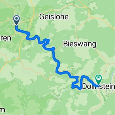
Overview
About this route
- 4 h 47 min
 - Duration
 - 80.3 km
 - Distance
 - 603 m
 - Ascent
 - 537 m
 - Descent
 - 16.8 km/h
 - Avg. speed
 - 576 m
 - Max. altitude
 
Part of
Von Mainz bis Meran
12 stages
Route quality
Waytypes & surfaces along the route
Waytypes
Path
36.1 km
(45 %)
Quiet road
17.7 km
(22 %)
Surfaces
Paved
61 km
(76 %)
Unpaved
13.6 km
(17 %)
Asphalt
60.2 km
(75 %)
Gravel
11.2 km
(14 %)
Continue with Bikemap
Use, edit, or download this cycling route
You would like to ride Alerheim - Augsburg or customize it for your own trip? Here is what you can do with this Bikemap route:
Free features
- Save this route as favorite or in collections
 - Copy & plan your own version of this route
 - Split it into stages to create a multi-day tour
 - Sync your route with Garmin or Wahoo
 
Premium features
Free trial for 3 days, or one-time payment. More about Bikemap Premium.
- Navigate this route on iOS & Android
 - Export a GPX / KML file of this route
 - Create your custom printout (try it for free)
 - Download this route for offline navigation
 
Discover more Premium features.
Get Bikemap PremiumFrom our community
Other popular routes starting in Treuchtlingen
wettelsheim - Pappenheim - Solnhofen- Distance
 - 57.8 km
 - Ascent
 - 3,508 m
 - Descent
 - 3,512 m
 - Location
 - Treuchtlingen, Bavaria, Germany
 
Alerheim - Augsburg- Distance
 - 80.3 km
 - Ascent
 - 603 m
 - Descent
 - 537 m
 - Location
 - Treuchtlingen, Bavaria, Germany
 
Treutchtlingen - Eichstätt- Distance
 - 42.3 km
 - Ascent
 - 419 m
 - Descent
 - 443 m
 - Location
 - Treuchtlingen, Bavaria, Germany
 
Treuchtlingen - Schambachtal - Teuchtlingen- Distance
 - 36.9 km
 - Ascent
 - 231 m
 - Descent
 - 231 m
 - Location
 - Treuchtlingen, Bavaria, Germany
 
Wettelsheimer Wald- Distance
 - 35.3 km
 - Ascent
 - 432 m
 - Descent
 - 432 m
 - Location
 - Treuchtlingen, Bavaria, Germany
 
Altmühltal Wettelsheim-Wenzenbach- Distance
 - 191.6 km
 - Ascent
 - 246 m
 - Descent
 - 288 m
 - Location
 - Treuchtlingen, Bavaria, Germany
 
2008 Altmühl bis Kipfenberg- Distance
 - 78.8 km
 - Ascent
 - 642 m
 - Descent
 - 633 m
 - Location
 - Treuchtlingen, Bavaria, Germany
 
Treuchtlingen nach Kipfenberg- Distance
 - 64.5 km
 - Ascent
 - 647 m
 - Descent
 - 686 m
 - Location
 - Treuchtlingen, Bavaria, Germany
 
Open it in the app


