
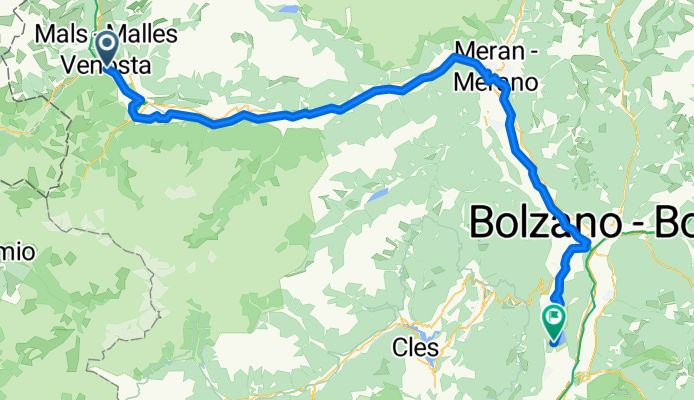
Von Glurns bis Kaltern an der Weinstrasse
A cycling route starting in Glurns, Trentino-Alto Adige, Italy.
Overview
About this route
- 5 h 35 min
- Duration
- 102 km
- Distance
- 569 m
- Ascent
- 1,274 m
- Descent
- 18.3 km/h
- Avg. speed
- 925 m
- Max. altitude
Route quality
Waytypes & surfaces along the route
Waytypes
Cycleway
56.1 km
(55 %)
Path
18.4 km
(18 %)
Surfaces
Paved
94.9 km
(93 %)
Unpaved
4.1 km
(4 %)
Asphalt
92.8 km
(91 %)
Loose gravel
3.1 km
(3 %)
Continue with Bikemap
Use, edit, or download this cycling route
You would like to ride Von Glurns bis Kaltern an der Weinstrasse or customize it for your own trip? Here is what you can do with this Bikemap route:
Free features
- Save this route as favorite or in collections
- Copy & plan your own version of this route
- Split it into stages to create a multi-day tour
- Sync your route with Garmin or Wahoo
Premium features
Free trial for 3 days, or one-time payment. More about Bikemap Premium.
- Navigate this route on iOS & Android
- Export a GPX / KML file of this route
- Create your custom printout (try it for free)
- Download this route for offline navigation
Discover more Premium features.
Get Bikemap PremiumFrom our community
Other popular routes starting in Glurns
 Stelvio - Gavia
- Distance
- 96.1 km
- Ascent
- 3,200 m
- Descent
- 2,862 m
- Location
- Glurns, Trentino-Alto Adige, Italy
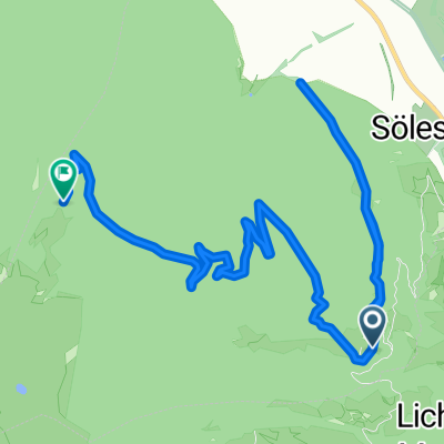
 Wiesenweg nach Glurns
- Distance
- 12.5 km
- Ascent
- 1,244 m
- Descent
- 172 m
- Location
- Glurns, Trentino-Alto Adige, Italy
 🚴♀️E*Bike🇮🇩+🇨🇭 Glurns-STILFSER-JOCH-Glurns
- Distance
- 66 km
- Ascent
- 1,844 m
- Descent
- 1,841 m
- Location
- Glurns, Trentino-Alto Adige, Italy
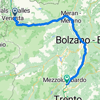 Naturns - San Michele All'Adige
- Distance
- 126 km
- Ascent
- 415 m
- Descent
- 1,118 m
- Location
- Glurns, Trentino-Alto Adige, Italy
 Via Trei nach Glurns
- Distance
- 11.1 km
- Ascent
- 1,092 m
- Descent
- 321 m
- Location
- Glurns, Trentino-Alto Adige, Italy
 restt
restt- Distance
- 455.9 km
- Ascent
- 6,196 m
- Descent
- 6,836 m
- Location
- Glurns, Trentino-Alto Adige, Italy
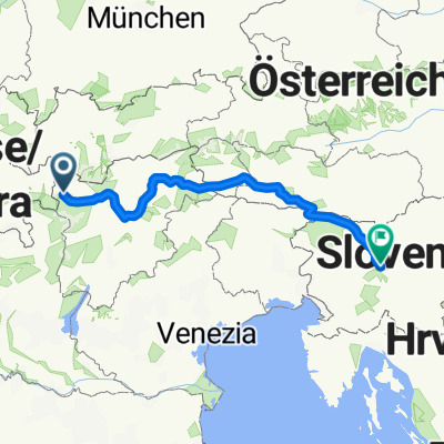
 Preko tri drzave s autom
- Distance
- 133.4 km
- Ascent
- 1,813 m
- Descent
- 1,808 m
- Location
- Glurns, Trentino-Alto Adige, Italy
 Von Glurns bis Kaltern an der Weinstrasse
- Distance
- 102 km
- Ascent
- 569 m
- Descent
- 1,274 m
- Location
- Glurns, Trentino-Alto Adige, Italy
Open it in the app